


Hiking the mighty Bruce Trail delivers spectacular scenery and a great workout
by Laurie Stephens
photography by Doug Burlock

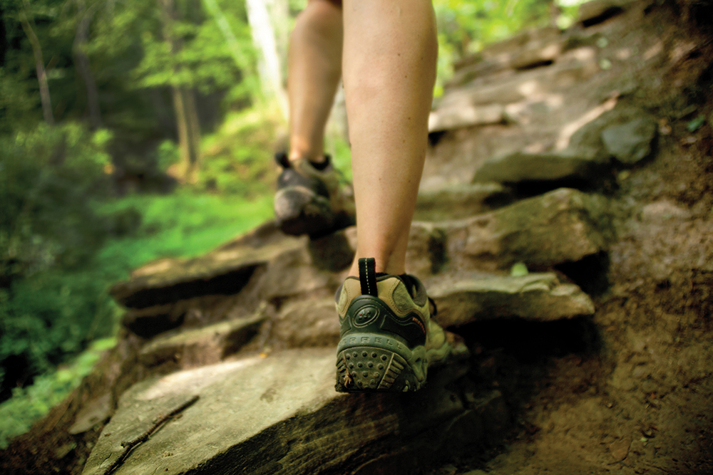
I’m concentrating on putting one foot in front of the other, on getting enough oxygen into my lungs to feed the thigh muscles that are starting to feel the burn. I am leaning into a steep pitch at the Beaver Valley Ski Club, and I’m feeling the strain. To add insult to injury, I’ve swallowed a bug and the resulting tickle in my throat is aggravated with each deep breath I take.
It’s only a small stretch of the 895-kilometre Bruce Trail, which stretches from Niagara to the Bruce Peninsula, but my 59-year-old body is sending me strong signals that I need to be in better shape.
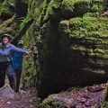
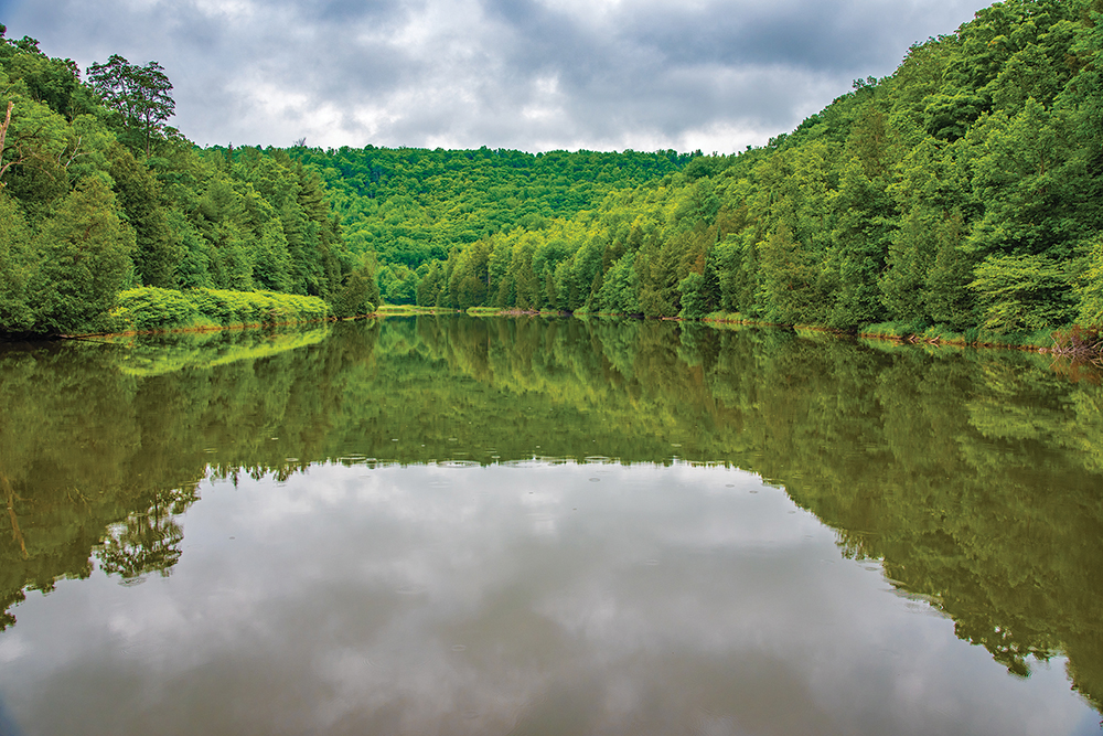
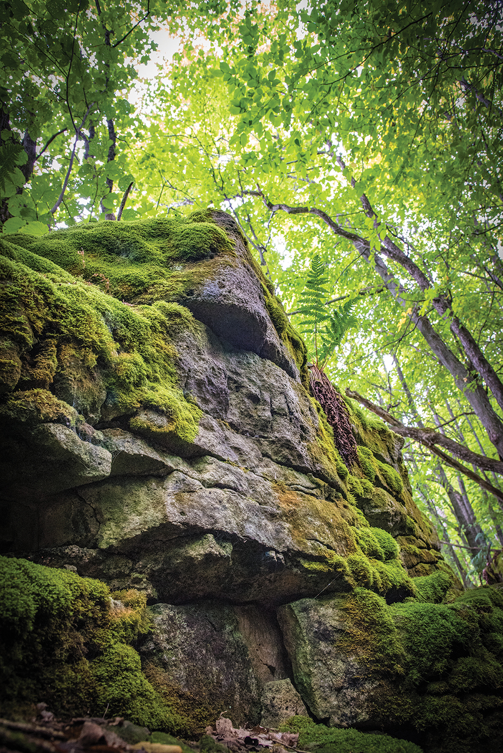
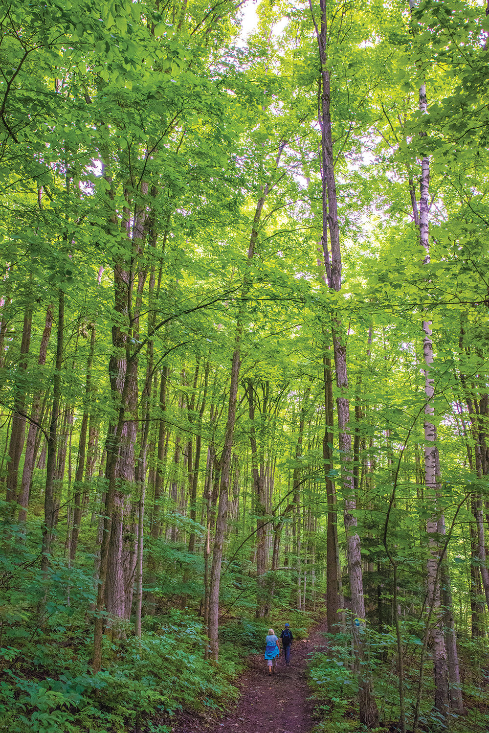
I stop for a moment to catch my breath and take in the scenery around me. I am engulfed in myriad shades of green. The tree canopy is a long look up, the dirt trail bordered by lush ground cover. The air smells sweet and fresh. I feel a rush of pleasure as I take in nature at its finest. The climb is worth the effort.
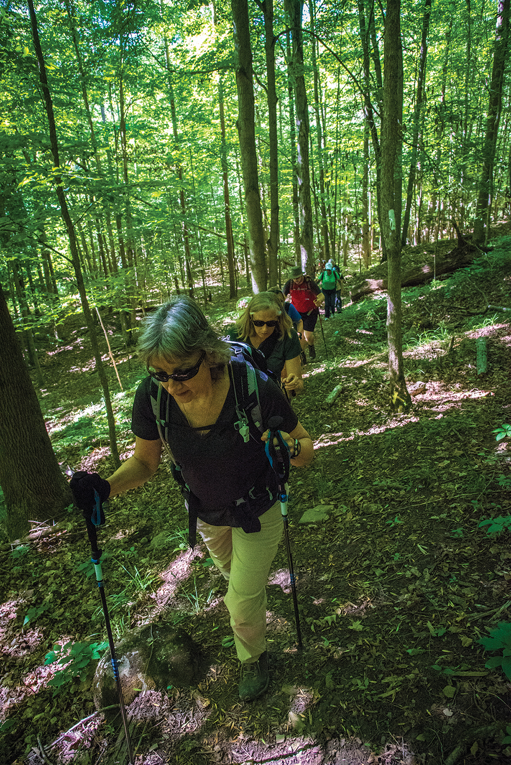
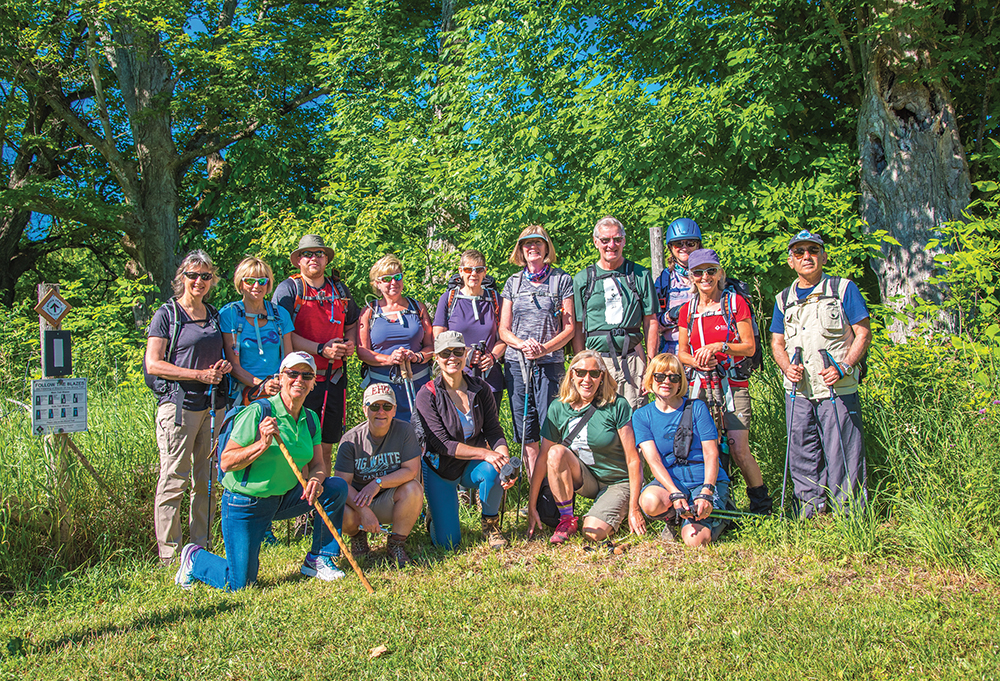
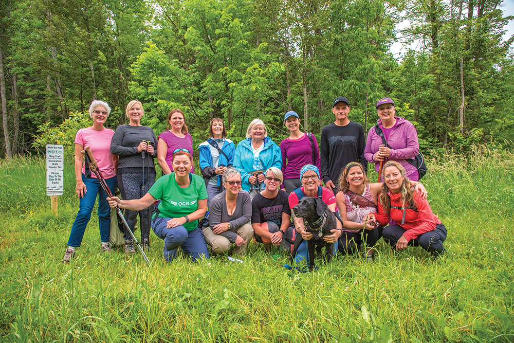
I’m not alone on this hike; today I’ve joined the Beaver Valley Bruce Trail Club for one of their weekend excursions. There are 15 of us, some local, others from in and around the Greater Toronto Area.
In total, the group will trek 18 to 20 kilometres today, but I will peel off after the first six, which, coincidentally, happens to be the hardest part. The rest of the route is relatively flat.
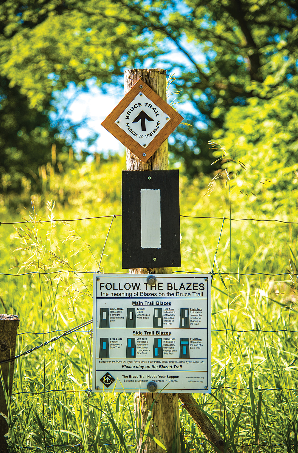
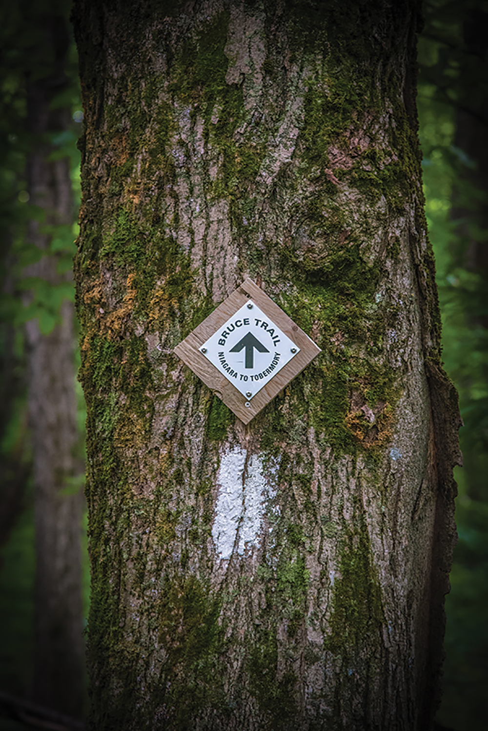
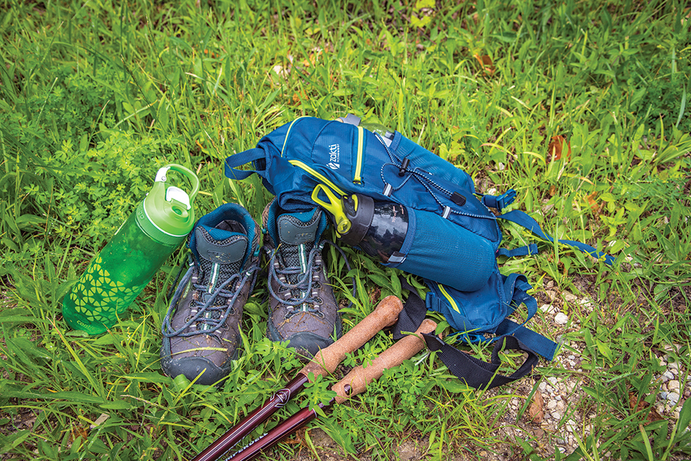
These are serious hikers. They sport quick-dry apparel, hiking boots and poles, and backpacks to carry items like water, snacks, sunscreen and insect repellent. Many have maps and even a GPS, as some of the Bruce Trail “blazes” – swaths of white or blue paint on trees or other flat surfaces – are hard to find.
Glenda Collings, the volunteer trail activities director for the club, is our hike leader for the day. Tall and lean, she has been trekking the Bruce Trail for 20 years and completed the entire trail end-to-end twice.
“Once you get on the Bruce Trail, there are endless opportunities,” she says. “You have such variety and you can do it over and over, in different areas, and see new things all the time. It’s challenging. And then for me, you put all that in a package, and it’s become a passion for me to help support the trail; it has become my thing.” Before this day’s hike begins, Collings has all of us sign a waiver, absolving the Beaver Valley Club of liability if someone is injured. And she asks for a volunteer “sweep” – someone who brings up the rear to make sure no one falls behind or gets lost.
Alina Luszcz, 66, a wiry Hamiltonian who developed a love for hiking growing up in Poland, agrees to fill that role. She has trekked from Niagara to the Beaver Valley section over the past two years and still has two more stages to experience – Sydenham and the Bruce Peninsula – before she can claim bragging rights to completing the entire Trail.
Just before we head off to our launch point, Luszcz is presented with a badge from Collings acknowledging her completion of the Beaver Valley section in a previous hike. It’s a big deal for everyone present and she is obviously proud of her accomplishment. “It’s all about the badges,” says Collings with a smile, explaining some hikers’ obsession with the Bruce. Once someone has completed an entire section end-to-end, they receive a custom-designed badge from the relevant Bruce Trail club.
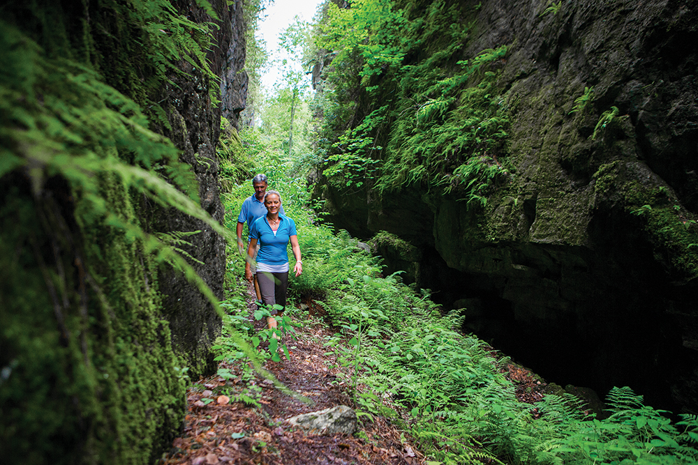
The hike begins innocently enough – a climb over a wooden stile and into four-foot-tall, golden grasses that almost obscure a narrow pathway. The route meanders pleasantly through fields and forest, sunlight peeping through the canopy. Modest ups and downs prepare us for the coming ascent.
Mary Pitura, a health-care worker from Burlington, started hiking the BruceTrail last spring. She has completed every section but Blue Mountain and is determined to finish the task.
“Most of my friends think I’m nuts to do this and can’t fathom doing 20 to 25 kilometres in a day, but it feels so good at the end of the day that it brings me back,” she says. “And with the goal of doing the whole thing and getting a badge for it, it’s just fun.”
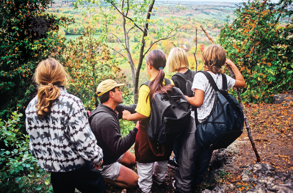
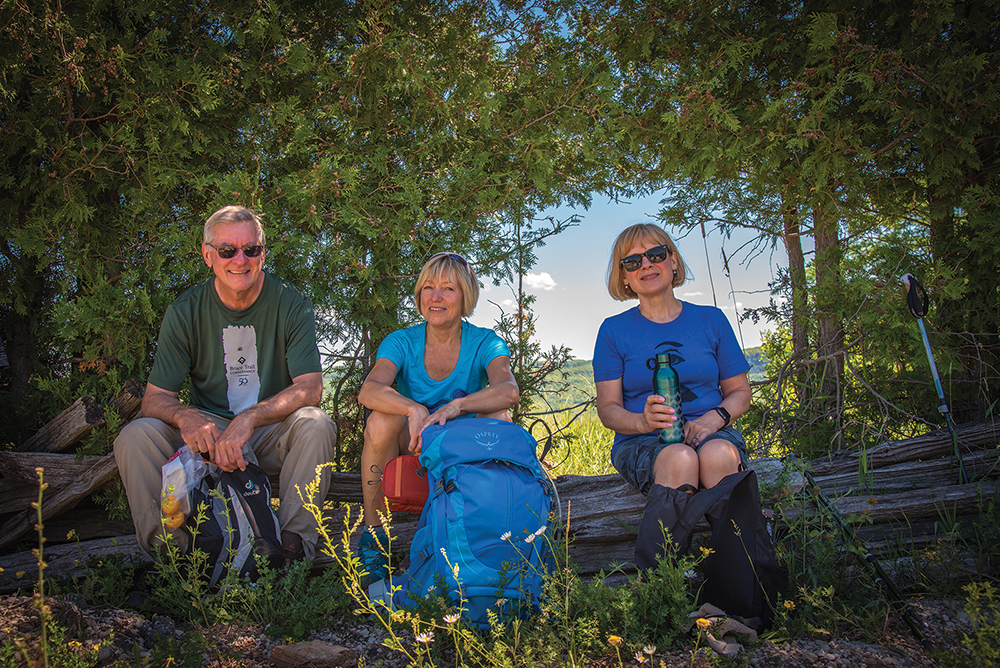
We finally reach the first of two summits on this six-kilometre stretch, and we pause briefly to take in a magnificent vista of the Beaver Valley.
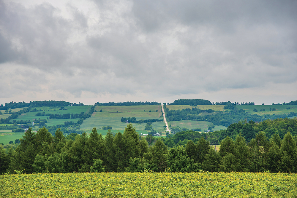
There is no haze; the humidity broke a couple of days earlier. So we get a clear view of the other side of the valley, where farmers’ fields dotted with a few houses and barns resemble a variegated checkerboard. Everyone grabs a drink of water. Some check their maps to see what’s ahead.
The Bruce Trail is Canada’s oldest and longest marked trail. It was the brainchild of Raymond Lowes, a life-long conservationist who envisioned a footpath that would allow the public to access the entire Niagara Escarpment – a UNESCO World Biosphere Reserve – from Niagara to Tobermory. In addition to the main pathway, there are more than 400 kilometres of side trails.
First efforts to establish the trail began in 1960. The Bruce Trail Conservancy was granted charitable status in 1967 and is now responsible for the stewardship of almost 12,000 acres along the Niagara Escarpment.
These days, the Conservancy, located in Dundas, Ontario, has 10,000 members and 1,500 volunteers who choose one of nine member clubs as their base. Each club manages a particular section of the trail. Beaver Valley is one of those clubs, bordered by Blue Mountains Bruce Trail Club to the east and Sydenham Bruce Trail Club to the west.
Each club is run by passionate volunteers like Collings, a retired teacher who moved to Meaford from Ingersoll three years ago so she could take full advantage of the Bruce Trail.
She is responsible for ensuring that the Beaver Valley Bruce Trail Club offers a schedule of hikes, some on weekdays that are relatively short and easy, and others on weekends that are longer and more challenging. The club also introduced a new hiking program for children this past spring.
Trail maintenance is another big task for each Bruce Trail club. At Beaver Valley, this is organized by a volunteer trail maintenance director who co-ordinates the activities of trail captains and other volunteers.
“Each club divides their section up into little bits – usually about two kilometres long,” Collings explains. “It’s the trail captain’s responsibility to go out and trim the grass, trim the bushes. We’re there to maintain the trail so that it is hike-able and safe.”
The Beaver Valley Bruce Trail Club has about 600 members, many of whom live out of the area, so only a small percentage are able to volunteer to organize programs, lead hikes and maintain their section of the trail.
“All the leaders and people involved, volunteers like myself, are insured against liability in case someone gets hurt on the trail,” says Collings. “So that’s why the hikers sign waivers.”
Of course, Bruce Trail hiking is not exclusive to the nine Conservancy clubs and their members. There are many unofficial local groups that have sprung up over the years, fuelled by a love of nature, a drive to improve their fitness, and a desire to be part of a social network.
Susan Brindisi is one of those local hiking enthusiasts who organizes more informal treks on the Bruce Trail and other areas in Southern Georgian Bay through her Facebook page, Georgian Triangle Hikers.
I join them one grey Sunday morning for a 2.5-hour hike at Devil’s Glen Ski Club, located within the Blue Mountain Bruce Trail Club’s territory. We are a group of 15, some serious hikers, some not, but most are regular participants in these sessions.
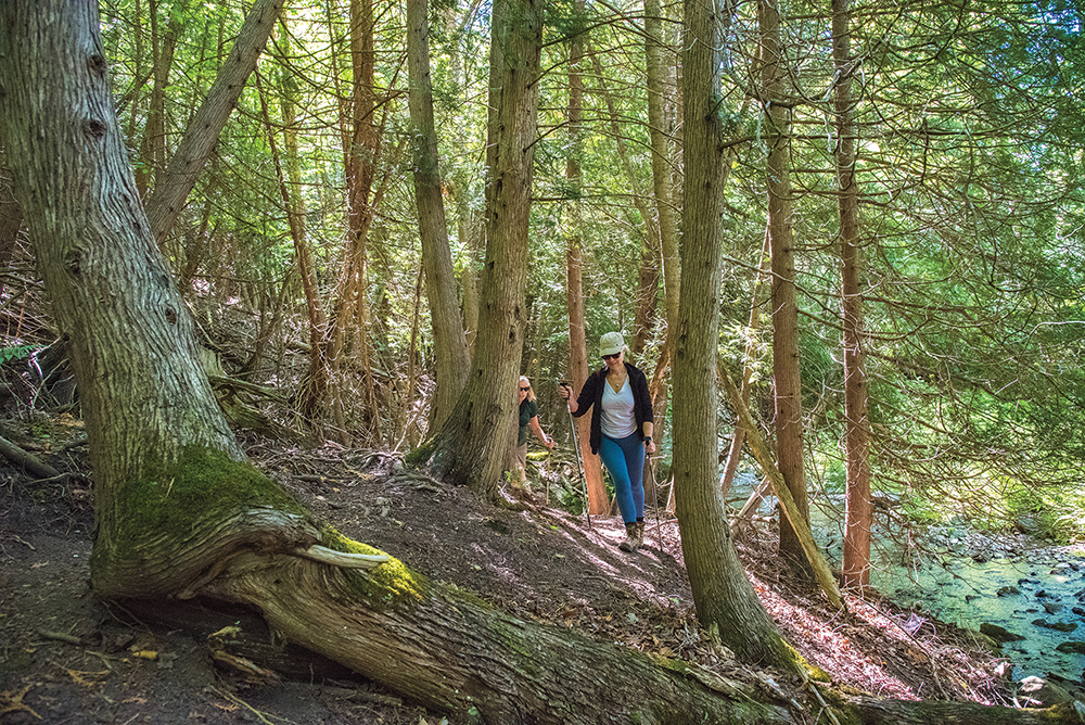
From the bottom of the ski hill we wander into the forest alongside the Mad River that, at least here, lives up to its name. There is a constant sound of rushing water that almost drowns out the chirping of birds.
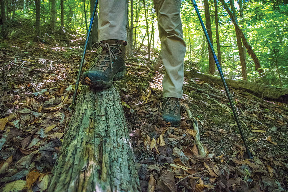
The trail this day is wet: two days of rain have made this a soggy, muddy hike, and there are many slippery sections, including log pathways and stones glistening with moisture. I am thankful for my hiking boots.
About 400 metres in, we start climbing. Verdant ferns and moss line the route as we ascend a switchback that is gentler than my climb at Beaver Valley. A steep drop-off on our right that leads down to the river demands careful attention to footing in the slippery conditions.
It’s a long climb in muggy weather and I am sweating heavily, but I feel oblivious to my discomfort, at peace in the sea of green that surrounds me.
As the hike progresses, the group spreads out. Some want a real workout and speed up the switchback, while others take a more leisurely pace.
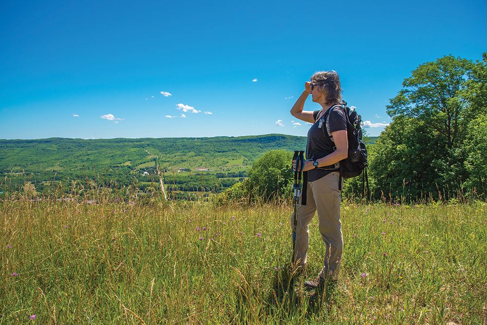
We congregate at different points to catch our breath and appreciate the view – including a lookout at the top of Devil’s Glen that offers a panorama of farmers’ fields whose greens and golds are dulled by the heavy moisture in the air. Some take out cameras to capture the scene.
This is clearly a defined social group. The hikers know each other – they meet every week for Sunday or weeknight hikes – and there is an easy camaraderie amongst them as they trek, chatting about cideries in the area and books they are reading.
Brindisi, a Collingwood accountant, founded Georgian Triangle Hikers after a hiking accident about nine years ago.
“I was hiking by myself, which I don’t condone, and I slipped on a bridge up on top of the mountain and hit my head,” she says. “I had to crawl back to my chalet at the time with tears in my eyes. At around that time, Facebook made an emergence and I thought, well, you can make a group on Facebook. So I made a group – Georgian Triangle Hikers.”
After nine years, the Facebook page has 500 followers. “Five hundred people don’t come on the hikes, but it’s known to that many people,” Brindisi explains.
“On average we have maybe 12. But I’ve been told people like to join the group to see and live vicariously through our photos, which is good, too. And I love to promote the fact that we’re in nature; we live in this beautiful community and it’s great to just get out and get exercise.”
Annie Pilon, 55, has been part of Brindisi’s group almost since its inception. In winter, she competes in snowshoeing and made it to the national championships last winter in Gatineau, Que.
Pilon heard about Georgian Triangle Hikers through friends and now regularly makes the drive from Barrie to take part in the Sunday morning hikes with the friends she has made.
“It’s a social thing, a nice sort of break for me, because I do a lot of other sports. I like the pace and it gives you the chance to look around and enjoy nature. That’s my thing. And the Bruce Trail – it’s long, it’s beautiful.”
At the top of our climb we travel along a gravel service road and then come upon a sloped farmer’s field where we take a short break to drink some water, grab a snack and check out the view. Our descent begins here, along the edge of the field and onto a ski run that leads us down.
This is a significantly more direct route than the one we took up, and in a few minutes we come out at a ski lift at the bottom of Devil’s Glen. We head back into the forest for the last part of the hike: a flat, two-kilometre section that reunites us with the Mad River.
It’s dark – no sun peeking through the foliage – and the river is still and greeny-brown, widening after we pass by the Hamilton Brothers facility in Glen Huron. We spot a patch of giant hogweed along the river bank, sparking up conversation about this toxic invasive species.
Soon we are back to where we started, arriving at our cars just as rain threatens. Another Sunday hike under everyone’s belt, and as they prepare to leave, they are already talking about the next one.
So, what is the allure of the Bruce Trail for these hikers?
Brindisi talks about the “hidden gems”: places that people don’t even know exist. “When they come out, they are just awestruck by the beauty and it makes them want to explore more places. And it has so much history to it. There are all kinds of different trees and plants only found here. You keep looking around while you’re hiking, because the beauty is just breathtaking.”
I can’t help but agree as I climb into my car, feeling tired but relaxed just as raindrops start to fall. Spectacular scenery in rain or shine, the physical challenges of the Trail, and friendships formed through a common love of nature, all in one package. That’s hard to beat. ❧
For more information on the Bruce Trail, clubs, badges and volunteer opportunities as well as routes, maps, featured hikes and end-to-ends, visit brucetrail.org.
Get The App!
Did you know there’s a Bruce Trail app that lets you plan, track and log your hikes on Canada’s oldest and longest footpath? It’s easy to use, has the most up-to-date Bruce Trail information, and can work with or without internet/WiFi access. For more information or to download the app, go to brucetrail.org or find it on the iTunes App Store or Google Play.
Recommended Hikes!
illustration by Shelagh Armstrong-Hodgson

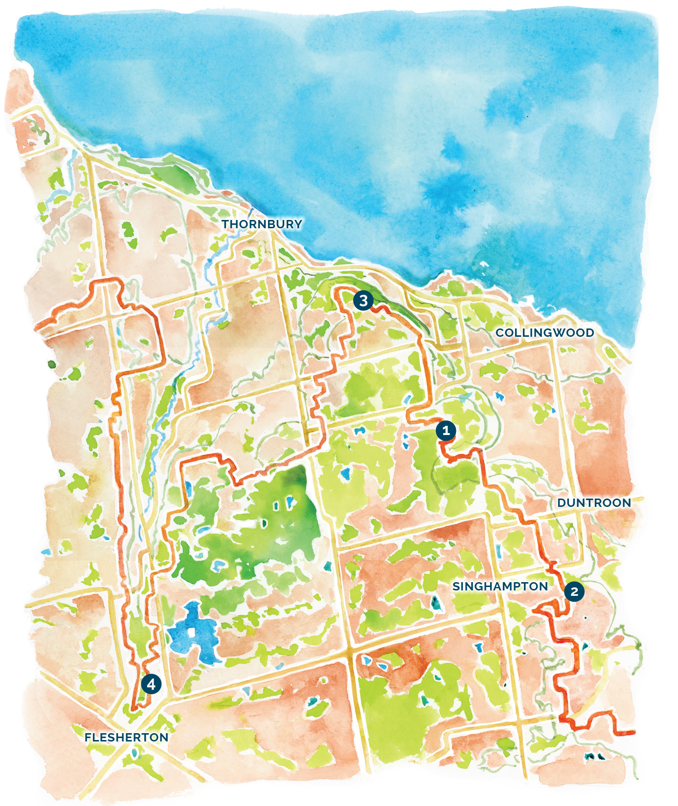
The following hikes on the Blue Mountain and Beaver Valley Bruce Trail offer good parking as well as loop hike possibilities with interesting views. Please consult the Bruce Trail Reference Book of maps, or download or print a map at brucetrail.org, before embarking on any of these hikes. Adequate water and appropriate footwear are required.
1. John Haigh Side Trail
- Enter from intersection of 6th Sideroad & 2nd Line, Town of Blue Mountains
- Follow the John Haigh blue side trail to the main trail. Hike north along the Escarpment ridge (with stunning lookouts over Georgian Bay in the distance) to 6th Sideroad where the Russ McConnell Side Trail loops back to the main trail and then back to John Haigh Side trail to parking)
- Distance: approximately 8 km
2. Transcarioca Trail Friendship Trail
- Enter from 9/10 Sideroad, Nottawasaga (park at dead end of road)
- Hike south along main trail through open fields with beautiful views of the Noisy River Valley, through some forest to Conc 10 and return (distance: approx. 4.5 km). Or hike north through forest and fields to the picnic lookout with pastoral views of the countryside (return distance: approx. 4.5 km).
3. Margaret Paull Side Trail
- Park at either dead end of 18th Sideroad, Town of Blue Mountains
- Follow the blue side trail west and then south to the main white trail, where it loops back to the parking. Stunning views over the Beaver Valley, hiking through open fields, forest and along Indian Brook.
- Distance: approx. 3.5 km
4. Hogg’s Falls Lower Side Trail
- Park at Hogg’s Falls Parking Area on the west side of Lower Valley Rd., Blue Mountains
- Hike north on the main trail to the blue Hogg’s Falls Upper Side Trail where it meets the main trail.
- Turn south on the main trail to where it joins the Hogg’s Falls Lower Side Trail to return to parking.
- Rugged with ups and downs, but with a lovely view of the Hogg’s Falls at the beginning and end of your hike.
- Distance: loop is approx. 5 km.
For maps, directions and other recommended hikes, visit the Bruce Trail Conservancy website at brucetrail.org.