


Our “in-town” trails connect communities and offer a safe, car-free way to get a workout or just get around
by Emily Worts
photos by Doug Burlock
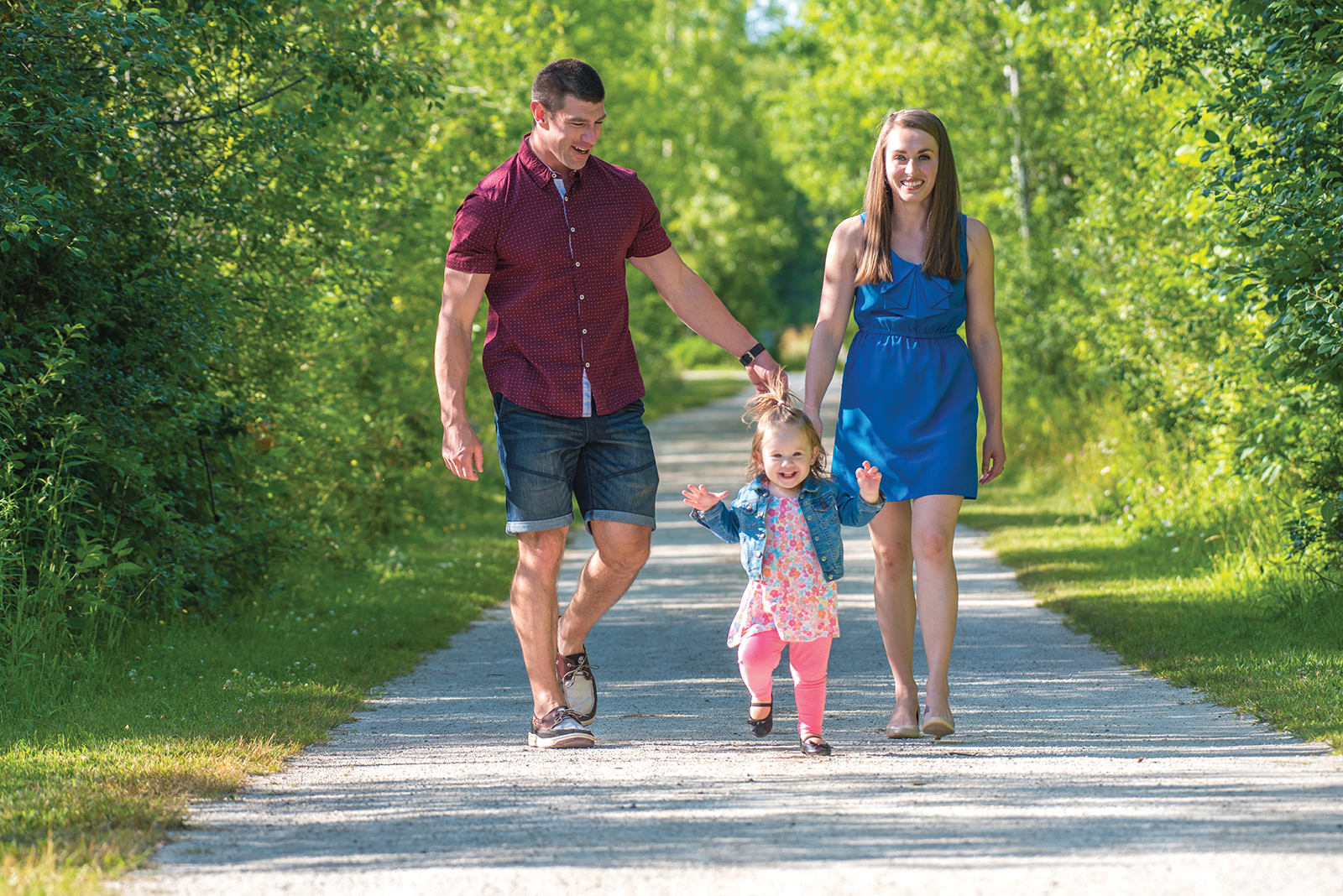
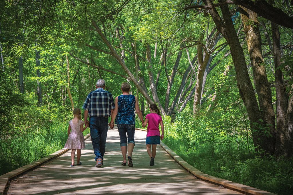
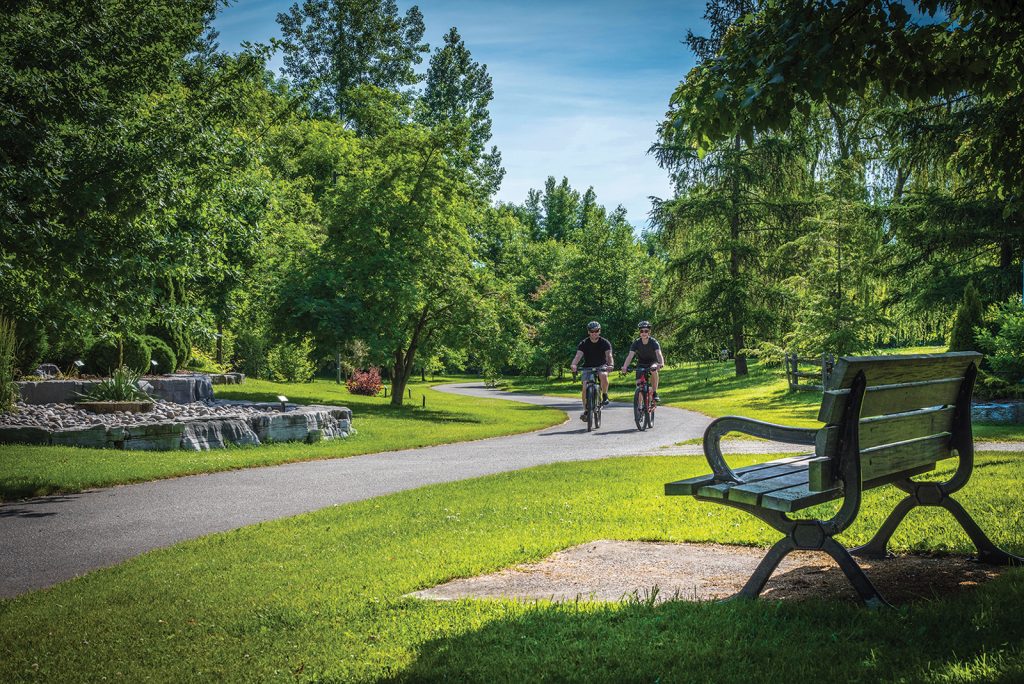
People use the trails for a variety of reasons, and throughout the Collingwood Municipal Trails history, much has been added to enhance the trail experience.
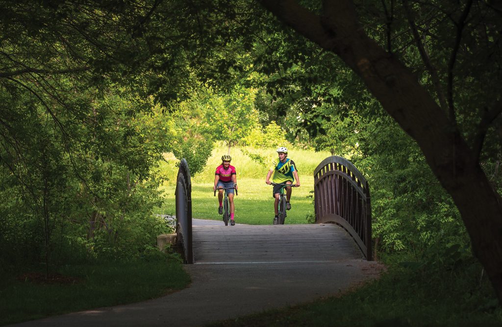
“Passing on your left.” A biker, much older than I, whizzes past me on the Georgian Trail, a 34-kilometre trail route from Collingwood to Meaford. He is dressed completely in spandex and he disappears before I notice anything else about him. My sons and I are enjoying a more leisurely ride on the Georgian and our goal is 42 kilometres, from Collingwood to Thornbury and back. We share the hard-packed gravel with hikers, dog walkers, casual cyclists and many who have speedier goals in mind.
Leaving Collingwood’s Harbourview Park just after 11 a.m. means we should arrive in Thornbury in time for lunch. The landscape quickly transitions from the urban landmarks of shopping centres, hotels and restaurants to one of wetlands and thick forests.
We find a map early on, at one of the well-managed drop-off points, and the trail ahead looks fairly straightforward. We pass regular signposts, interpretive maps, memorial plaques and bike repair stations, all signs of a well loved and cared-for trail.
There are several access points along the way and a few side trails for exploration. One such detour is the George Christie Nature Trail, a quick loop (with its own side trails) through dense forest, on a narrow off-road trail. On the nature trails we are able to test the features of our mountain bikes; otherwise a cruiser bike is perfectly suitable for the Georgian Trail.
Back on the main track, we cycle through cedar groves and fern gullies before stopping under the shade of a maple, taking a seat on a bench strategically placed for rest, and listening to a woodpecker tapping away in the forest behind us. The wildflowers, shrubs and trees along the edge of the trail could keep a botanist busy for days. From lilacs to sweet peas, wild apples and white birch, every season is a trip for the senses along the trail.
We cross the Silver Creek bridge and notice the rattle of wood slats beneath us. The sound allows me to imagine the Northern Railway Line train that must have chugged down this track a century ago, connecting Collingwood and Meaford and transporting goods and visitors rather than bikers, hikers, joggers, pole-walkers, skiers and snowshoers.
We arrive in Thornbury one-and-a-half hours after departure. Our reward is an excellent lunch at one of Thornbury’s local restaurants, which serves up fresh tacos, pizza and poutine along with energetic smoothies to help get us back in the saddle. We are a little slower heading home (maybe it’s the poutine) and our legs are aching. The kids notice a sign along the trail, about halfway back to Collingwood, signalling ice-cream. They gobble up cones and I opt for an iced coffee, needing all the help I can get to propel me back to town. The kids have packed bathing suits, and it’s a quick ride to the Craigleith Depot traffic lights, where we cross Hwy. 26 to Northwinds Beach. The refreshing waters of Georgian Bay are the perfect elixir on this warm fall Saturday.
Back on the trail, we pass all ages, all here for different reasons: a quick walk with the dog, an energetic commute to work, an athletic challenge, a chance to catch up with a friend or connect with family.
Richard Rood first read about the Georgian Trail in the Toronto Star when living in the city. It was the ’80s, a time when abandoned rail lines across the province were being repurposed and converted into public access multi-use trails. An avid cyclist, Rood retired to Collingwood a decade ago and has been volunteering for the Georgian Trail ever since.
“What I really like is that it is a great entry point trail for young families and kids, whether they’re hiking, cycling or backpacking,” says Rood. “It is a great introduction to more advanced cycling and hiking.”
The Georgian Trail, like many other community trails in our area, is wide, relatively flat, and straight – all virtues of their rail line history – which means kids can move along ahead without much worry. Easy access and an easy ride or walk mean the trails can also be used for everyday convenience.
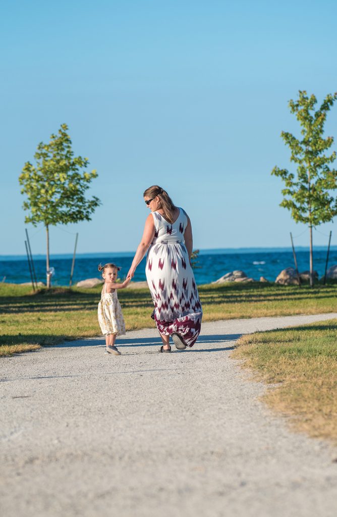
Janet Findlay lives along the trail in Lora Bay, just west of Thornbury. She uses the trail to walk into Thornbury to meet friends for ice cream or a beer.
“It is right in the middle of our community and it influenced our decision to buy here,” she says, adding, “Exercise is nice, but it’s always fun to have something you’re going to do. I know a lot of people need a reward.”
Like the Georgian Trail, the Clearview Collingwood Train Trail is an abandoned rail line that used to be part of the Ontario Simcoe and Huron Railway system connecting Collingwood to Toronto. Today a section has been converted into a 14-kilometre trail linking Collingwood and Stayner.
Many of our local trails are managed and kept up by the municipalities whose land they traverse. However, The Clearview Collingwood Train Trail was recently taken over by Simcoe County with the goal of extending the trail network throughout the entire county.
“From a tourist perspective, it’s one of the coolest parts of South Georgian Bay: the ability to connect neighbourhoods, small communities, hamlets and villages with trails,” says Amanda Murray, community, culture and tourism coordinator for Clearview Township. “We’re relying on the county’s rail trail plan to do that.”
For the township, the main focus is building connections from the Train Trail to local neighbourhoods, and creating trails within hamlets and villages, says Murray. In Stayner this is well underway. The newly completed 5.5-kilometre EcoPark Loop trail uses a combination of sidewalks, roads and trails to create a flat and accessible link from downtown Stayner to the newly naturalized area in town which follows four retention ponds attracting migratory birds and waterfowl. Bird and bat houses have been installed to encourage local wildlife, along with two bird viewing platforms so trail users can get an intimate look.
The EcoPark loop connects with the Clearview Collingwood Train Trail and to the new Stayner Story Book trail, which features a collection of 12 storyboards strategically placed along the trail to encourage outdoor learning activities. The Story Book Trail creates a safe trail link for school children to both Clearview Meadows Elementary School and Stayner Collegiate Institute.
From the scenery and the passers-by to the magnificent old trees and the birds that flit from branch to branch, there is much to keep trail users engaged while enjoying the outdoors and getting the heart pumping.
Murray knows the Clearview trails are well used: the brochure for their EcoPark loop is one of their most popular and the town also manages 20 geocache sites (an international digital treasure hunt) along the trail.
“Over the last three years we’ve had 2,000 unique visitors log onto our geocache site,” says Murray of the treasure hunters who are exploring along the trail. “It speaks to trail usage.”
Murray is very proud of the work that has been done on the local trails to date. The township follows regional tourism standards for trail construction and wayfinding signage, which provides consistency and avoids confusion as trail users link from one trail system to another.
The Clearview Collingwood Train Trail links with the Collingwood Municipal Trails Network, a decade-old initiative that also got its start with decommissioned train rails. Today Collingwood boasts over 60 kilometres of integrated and connected trails, but it hasn’t always been this way. Dean Collver, director of parks, recreation and culture for the Town of Collingwood, compares the initial trail system to a plate of wiggling worms. The town’s goal has always been to connect the worms together.
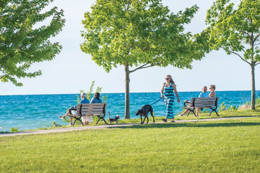
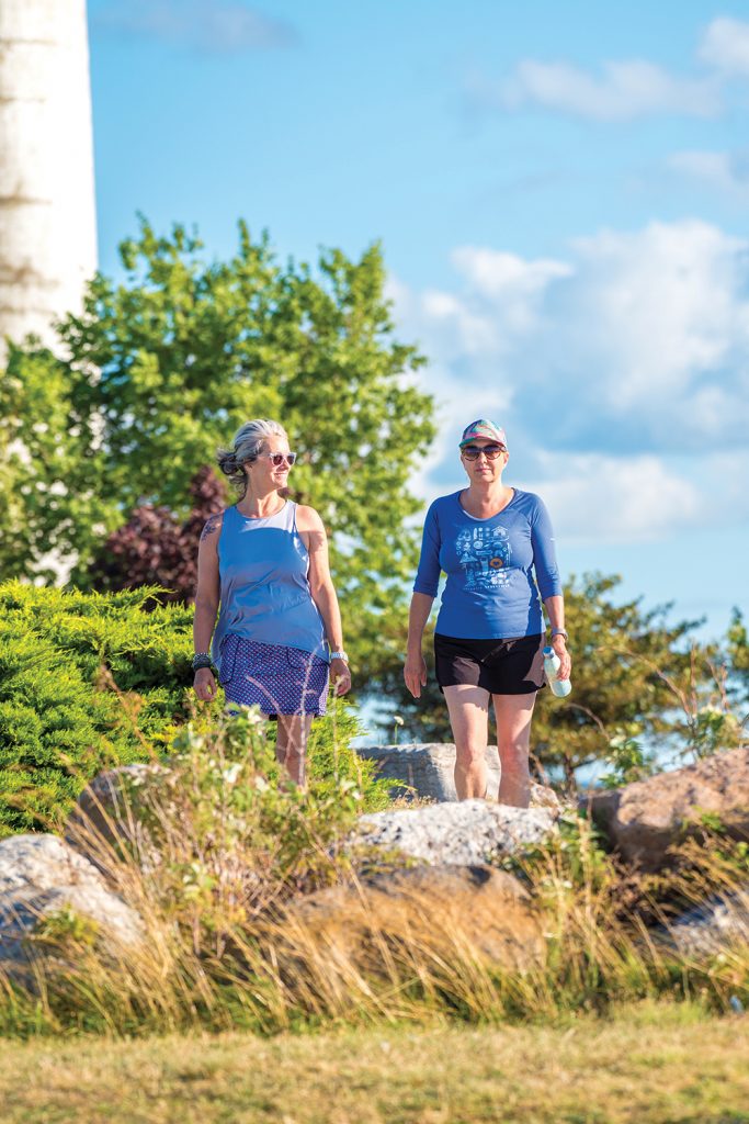
Along the Wasaga Beach Waterfront Trail, you can soak up a sunset or spend days discovering new snowshoeing trails in the provincial park.
“We’ve arrived there, and it’s because of generous landowners that the trails are able to connect,” says Collver, referring to the land-use agreements upon which the trail network relies in order to traverse sections of private land.
“We have some of the best trails in the province, and the community benefits,” he adds. In fact, the trails are so important that they are considered in all new planning and development initiatives for the town.
“One of the testaments to the town is that trails are part of our development process. With the development of subdivisions, one of the primary goals is that it has connectiveness to trails,” says Collver of the town’s development strategy. “When planning, we engage with the trails committee to review with the community through the lens of the trails network.”
Murray Knowles, who has been a board member of the Collingwood Trails Committee for a dozen years, serving as chair and now co-chair, appreciates the priority the trails are given.
“In the last couple of years, we have had access to any new development in the pre-approval stage,” he says. “We can provide comments and trails input in the very early stages, and our recommendations are often accepted.”
In Collingwood, developers have the responsibility to make connections from their developments to the trail network, and it’s to their advantage.
“You’ll see it’s in all their promotional material,” says Knowles. “You can get to any place in town on the trail network. Any park, government building, downtown, the harbour.”
People use the trails for a variety of reasons, and throughout the Collingwood Municipal Trails history, much has been added to enhance the trail experience. In 2009 the committee started installing historical interpretive signs, narrating the general history of Collingwood from 1858 to 2008 and indicating significant sites and buildings, like the Collingwood Meat Company and the Keith family dairy.
On any of our local trails, you may see tourist groups from Blue Mountain Resort riding along on rented bikes, or cycling and hiking groups who have travelled hours to come and enjoy a day’s trail excursion.
The trails, however, aren’t just about recreation. They are a means to get to work, to school, to get outside, get exercise, help reduce emissions and enjoy your community. And all this means the trails are well used, according to six trail counters distributed along the Collingwood Municipal Trails to collect usage data (their location is switched up every couple of years).
“The train trail is a major trail running north-south through the centre of town. Our counters have tracked 10,000 people a month passing that counter in the summer,” says Knowles. “Most trails have about 4,000 going by.”
Usage increases every year, with bicycle traffic increasing dramatically. You will see everything from road bikes and fat-tire bikes to accessibility scooters and e-bikes. People are getting out on the trails by whatever means or method works best for them.
“Just about everybody uses the trail; I have met people from Sudbury to Switzerland on the trail,” says Knowles. “Trails are an attraction, there is no doubt about it. It’s likely the most tourist-drawing attraction we have.”
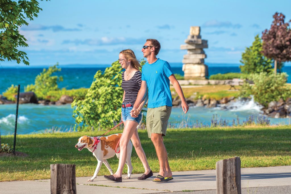
On any of our local trails, you may see tourist groups from Blue Mountain Resort riding along on rented bikes, or cycling and hiking groups who have travelled hours to come and enjoy a day’s trail excursion. Because of the connectivity of the various trails in our area, you can be on the trails all day, or for multiple days if you’re linking to the Tom Thomson trail in Owen Sound in the west, or Midland and Penetanguishene to the east. There are also campgrounds off some of the trails, which means you may see hikers or bikers with their full camping kits on their backs. But it is the locals you’ll see again and again on the trails, where unfamiliar faces soon become familiar.
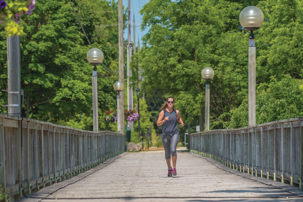
This past summer, Andrea Rinaldo used the trail as a training ground for hiking the Camino Trail in Spain. She hit the Bruce Trail to train for hills, but says the local rail trails are perfect for endurance training.
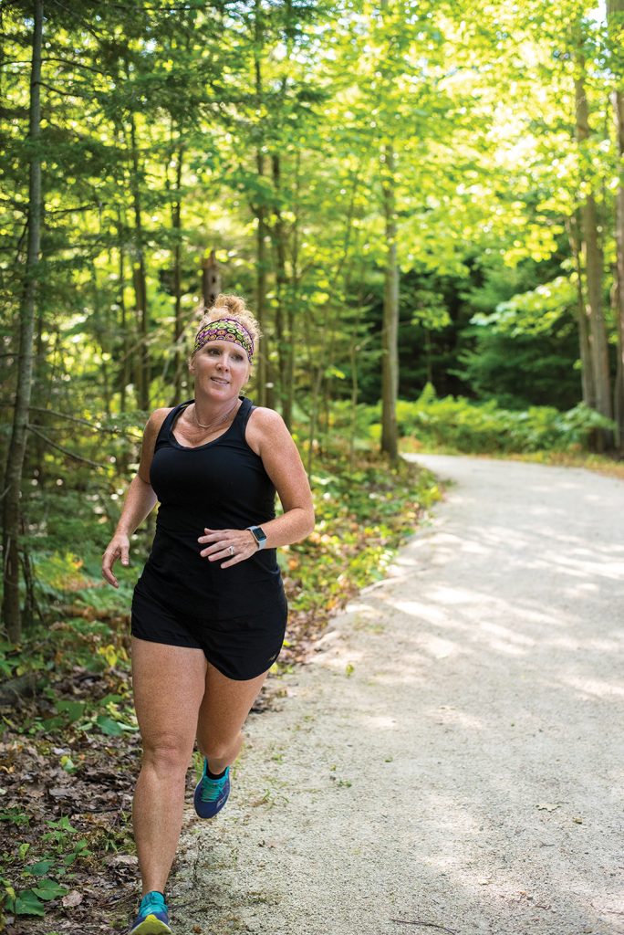
Collingwood resident Andrea Rinaldo is out on the trails every day for a five-kilometre walk with her dogs. “I’m so engaged with the trails. They are my second home,” she says.
This past summer, Rinaldo also used the trail as a training ground for hiking the Camino de SantiagoTrail in Spain. She used the Collingwood Trails to connect to the Georgian Trail and walked over 20 kilometres, taking five hours, from Collingwood to Thornbury. “I walk as far as I can, then call for a pick-up,” she says of her training routine.
Rinaldo uses the Bruce Trail to train for hills, but says the local rail trails are perfect for endurance training. “I’m getting from A to B the fastest way I can. I’m timing myself as I power walk.” Rinaldo loves the community of the trail system, though she admits she is often out there alone. “No one is on the trails,” she says. “It kills me. They’re so beautiful.”
But quieter trails mean more wildlife, and she has counted nine bird species between Cranberry and Craigleith, including egrets and cranes. “It’s just extraordinary,” says Rinaldo, who also spotted a massive snapping turtle on the trail. “It was probably 100 years old.”
The Town of Wasaga Beach has more than 100 kilometres of on- and off-road trails, some more travelled than others.
“It’s easy to find trails that nobody knows about and then there are the really loved trails,” says Irene Bell, an avid trail user and president of the Wasaga Beach chapter of the Ganaraska Hiking Club. “Off the beaten track, trails exist within the town and I’ve seen fox, coyotes and deer.”
The Ganaraska Hiking Club, with more than 100 members, offers two different levels of hike and meets Wednesday mornings at the Wasaga Nordic and Trail Centre. Longer hikes of eight to 12 kilometres use the Bruce Trail, but shorter “Ambler Hikes” take advantage of local trails.
“The Nottawasaga River runs through Wasaga Beach and is a really special destination,” says Bell. “The river hikes are absolutely spectacular, with high dune areas along the river.”
Along the Wasaga Beach Waterfront Trail, you can soak up a sunset or spend days discovering new snowshoeing trails in the provincial park.
“We use the local trails quite a bit, especially in winter when it’s hard to get out of town,” says Bell.
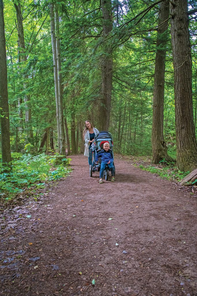
Marci Dineen has been living in Wasaga Beach for 26 years and has watched the town expand at an alarming rate. But amidst all the development, she takes refuge on the forest trails that wind through neighbourhoods.
“It is so unique,” she says. “I know there are homes backing onto the trail so I don’t feel isolated, yet I can’t see them. It is a bit of an oasis in a fairly urban area. When it’s hot out, it’s cool in there. When it’s raining, I’m protected.”
Dineen is on the trails, walking or running, every day as she trains for a half marathon. She passes commuting school children on their bikes and groups of adults out socializing while exercising, as she connects to the trails using cottage roads and the beach.
From the scenery and the passers-by to the magnificent old trees and the birds that flit from branch to branch, there is much to keep trail users engaged while enjoying the outdoors and getting the heart pumping. And because of the level grade of most of our trails, and the fact that they are free to use, they’re accessible to all.
Marci Dineen has been living in Wasaga Beach for 26 years and has watched the town expand at an alarming rate. But amidst all the development, she takes refuge on the forest trails that wind through neighbourhoods.
George Christie is considered by many to be the grandfather of our multi-use trails. Christie started small, campaigning for trails here and there in Collingwood and surrounding areas. He established a Collingwood trails committee over 20 years ago, and he’s attended their monthly meetings ever since.
From the creation of the Collingwood Municipal Trails map to building all the donation boxes that are displayed along with it, Christie has seen the trails grow from a single stretch connecting Collingwood to The Blue Mountains, to a system that takes people all the way from Stayner to Meaford with dozens of side routes along the way. “It’s a great network, a great way to get around town and I would encourage anyone to get out there and do as many things as you can on the trail.”
For Christie, developing our multi-use trails has been a labour of love, and today that love is shared by locals, visitors and volunteers alike, entrenched by decades of use and sound management. Our network of trails today is something we should all be proud of: an amenity, accessible to all, that honours history, athleticism, environmental awareness, and wonder. ❧
Benefits of Municipal Trails
- Trails offer the opportunity to learn about and experience the natural environment.
- Trails allow you to explore your local neighbourhood and discover nearby natural features, parks and facilities.
- Trails connect neighbourhoods and communities.
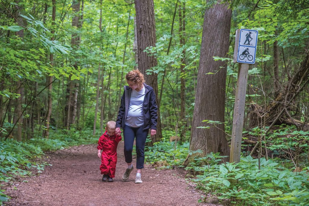
- Using active modes of transportation such as walking and cycling in your daily routine can significantly reduce your chances of heart problems and can help improve circulation, lower blood pressure and maintain a healthy body weight.
- Trails provide opportunities to spend quality time with your family and meet new people with similar interests (e.g. hiking groups).
- Trail usage improves mental health by reducing stress, refreshing your mind and increasing energy levels.
- Trail and pathway systems save energy and protect air quality by encouraging active modes of transportation.
Trail Etiquette
As our multi-use trails become more and more popular, a little courtesy and common sense can go a long way towards preventing potentially hazardous situations and making the trails more enjoyable for all.
Regardless of whether you are bicycling, walking, jogging, or snowshoeing, if you follow the same set of rules as everyone else, your trip will be safer and more enjoyable.
Help make our trails safe for everyone by observing the following guidelines:
Be Courteous
All trail users should be respectful of other users regardless of their speed, level of skill or mode of transportation.
Be Predictable
Travel in a consistent and predictable manner. Always look behind before changing positions on the trail.
Don’t Block the Trail
When in a group or with your pets, use no more than half the trail so as not to block the flow of other users.
Keep Right
Stay as near to the right side of the trail as is safe, except when passing another user.
Pass on the Left
Pass others going in your direction on their left. Use hand signals to alert those behind you of your moves. Look ahead and back to make sure the lane is clear before you pull out and pass. Pass with ample separation and do not move back to the right until safely past. Remember: kids and animals can be unpredictable.
Give Audible Warning BEFORE Passing
Give a clear signal by using voice, bell or horn before passing. Give the person you are passing time to respond. Watch for their reaction. So that you can hear these signals, don’t wear headphones on the trail.
Don’t Stop Suddenly
When stopping, move off of the trail. Beware of others approaching you from behind and make sure they know you are pulling over.
Obey All Traffic Signs & Signals
Use extra caution where trails cross streets. Stop at all signs and intersections and be cautious when crossing driveways. When entering or crossing a trail, yield to traffic on the trail.
Use Lights At Night
Be equipped with lights when using a trail at any time from dusk to dawn. Bicyclists should have a white light visible from 500 feet to the front and a red or amber light visible from 500 feet to the rear. Other trail users should have white lights visible from 250 feet to the front, and a red or amber light visible from 250 feet to the rear.
Be Respectful of Private Property
Trails are open to the public, but often the land on the side of the trail is private property. Please respect all property rights and show respect for the privacy of neighbouring residents.
Clean Up Litter
Do not leave glass, paper, cans, plastic, or any other debris on or near a trail. If you drop something, please remove it immediately.
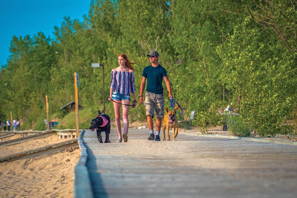
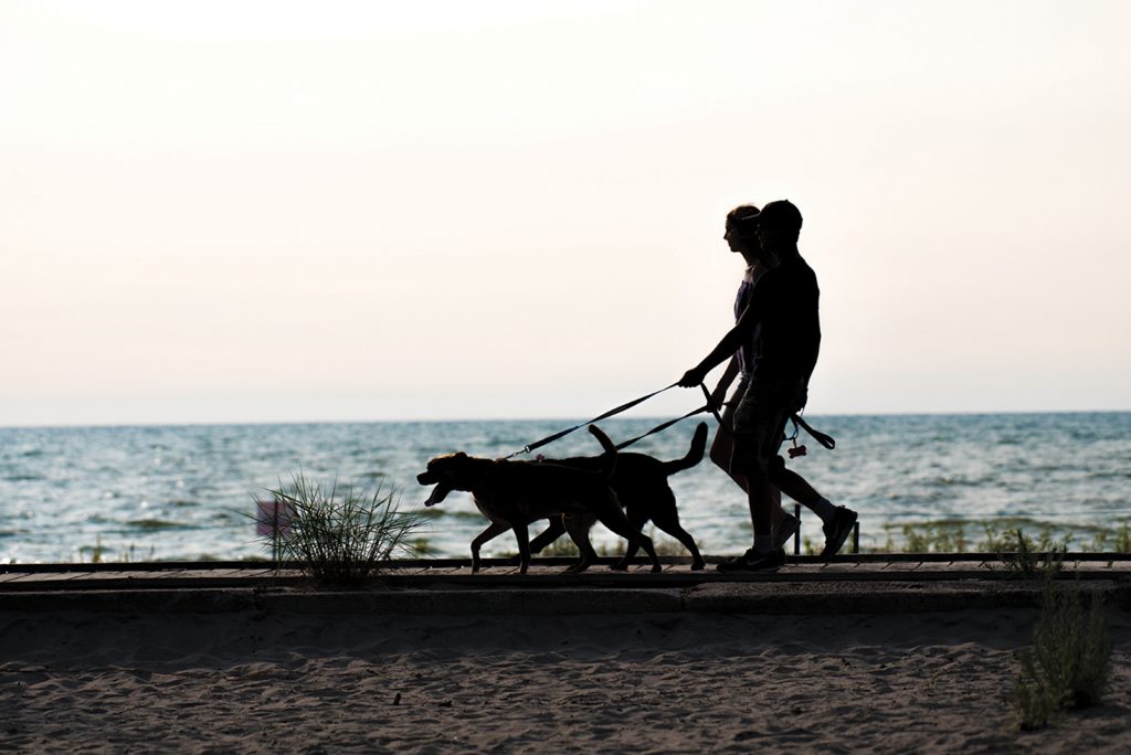
Control Your Pet
Keep dogs on a leash at all times. When approaching another user or another animal, don’t assume that because your dog is friendly, it will be welcome to approach. Be sure to bring bags and clean up after your pet.
Have You Outgrown Trails?
Trails have engineering and design limits. If your speed or style endangers other users, check for alternative routes better suited to your needs. Selecting the right location is safer and more enjoyable for all concerned.
Always Exercise Due Care & Caution
It is important to remember that trail etiquette is required to ensure the safety and enjoyment of the multi-use trails. Always be aware of who and what is around you, as the surroundings may change very quickly along the trails. Remember: pedestrians have the right of way.