Driving the Georgian Bay Coastal Route presents plenty of eye-catching scenery plus opportunities to stop along the way and enjoy the sights, tastes and activities of our coastal communities
story by Laurie Stephens, photography by Doug Burlock
It’s autumn and the days are getting shorter, the nights cooler and the leaves are turning. It’s time for a road trip! I’ve decided to explore two sections of the famous Georgian Bay Coastal Route, a 2,000-kilometre tour through Ontario’s heartland to some of Georgian Bay’s most iconic destinations, including Manitoulin Island, Killarney, the 30,000 Islands, the Bruce Peninsula, and Wasaga Beach. I love long, scenic drives, and the prospect of hopping into my car and exploring the mighty Georgian Bay coastline is exciting and evocative.
Part of me is waxing nostalgic for my childhood growing up in Sault Ste. Marie, when my parents would load all six of us into the Plymouth Fury and head off for two weeks to discover parts of Canada and the United States.
Dad would drive for hours, making stops at tourist attractions along the way – Santa’s Village in Bracebridge comes to mind as one highlight – and then looking for that perfect roadside motel that had the obligatory swimming pool and restaurant. I recall one trip to Boston (I was a huge Boston Bruins fan) when we were chased up the East Coast by a hurricane to our main destination, the Cabot Trail on Cape Breton Island. We didn’t see a whole lot of scenery that trip.
Another part of me is happy to spend some quality one-on-one time with a captive audience. This adventure involves two trips from my starting point of Meaford – one up to the top of the Bruce Peninsula with my daughter and the other with my sister rounding the southeastern tip of Georgian Bay to Waubaushene. Along the way, I know we’re going to see spectacular scenery and learn a little Canadian history in some of the most iconic tourist destinations in Ontario’s heartland. Here we go.
Inglis Falls
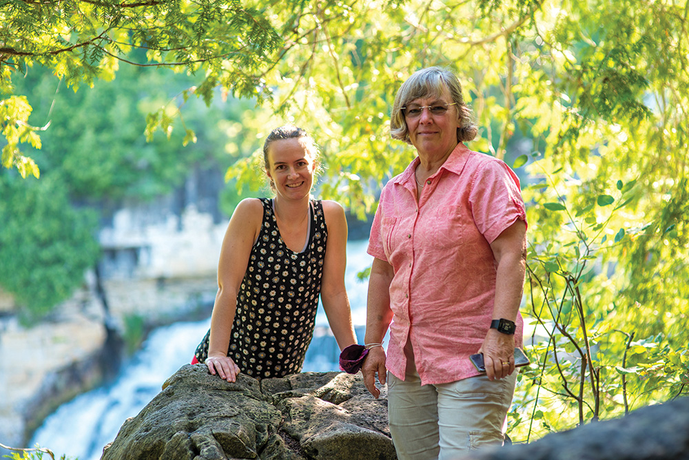
My daughter Maddie and I get an early start to the day, heading out the door at 8:30 a.m. for a 42-kilometre drive to our first stop, Inglis Falls Conservation Area.
Maddie takes the wheel, allowing me to appreciate the scenery. We go up and down long, rolling hills on rural roads, past many cornfields interspersed with dense forests and marshland. We drive past a large Great Blue Heron that has set down in a marsh’s edge with a good-sized fish in its bill.
About 45 minutes later, we arrive at Inglis Falls and pull into a parking lot that already has a few cars. It’s clearly a popular place, even this early in the morning, and we soon see why.
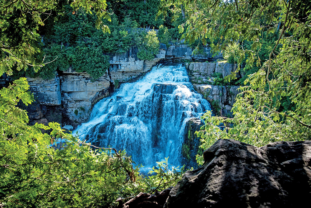
The falls, carved out of the edge of the Niagara Escarpment by the Sydenham River, cascade down an 18-metre rockface in two stages. Standing on a bridge over top, we can see and feel the damp mist rising from the pools below.
Behind us is a dam that was used to power an old grist mill; to the right is a well-worn path that accesses 7.42 kilometres of trails and the Bruce Trail in the conservation area.
Better views of the falls are to be had by walking down a trail and wooden stairs to lookout platforms that are close to the cliff. I am surprised there are no guardrails, and I get butterflies in my stomach just watching my daughter stand close to the precipice.
“Can you move away from the edge a little?” I ask. She just smiles at me and continues to take in the view.
We stand for a while and watch the water – the way it flows is hypnotic – and then we make our way back up to our car for the next leg of the journey. We are off to see Wiarton Willie, the groundhog prognosticator of spring.
Wiarton Willie
Well, maybe not the real, live Wiarton Willie, but we know there is a statue of him on Wiarton’s waterfront.
So, for the next 36 kilometres we talk about Maddie’s plan to go back to school for a Masters degree while she navigates through village after village, each with the requisite Tim Horton’s coffee shop, all separated by fields of corn or cattle. There is no doubt this is farm country.
Soon we see the sign announcing we are in Wiarton, and of course, it features a likeness of Wiarton Willie. But the town is much more than a groundhog; it has long been known as the “basecamp” to the Bruce Peninsula, an isthmus that separates Georgian Bay from the rest of Lake Huron.
Once the territory of the Saugeen Ojibway Nation, Wiarton saw its first white settlers in the mid-1800s, and the town features some gorgeous architecture that speaks to this past, including old but well-maintained red brick homes with turrets and cedar shake shingles.
We head to the water’s edge where there is a charming little campground and a harbour lined with boulders like those at the harbours in Meaford and Thornbury. The sand beach area is spotless and I am struck by the crystal clear water of Georgian Bay. It practically begs us to jump in for a swim, but we’ve not brought our suits.
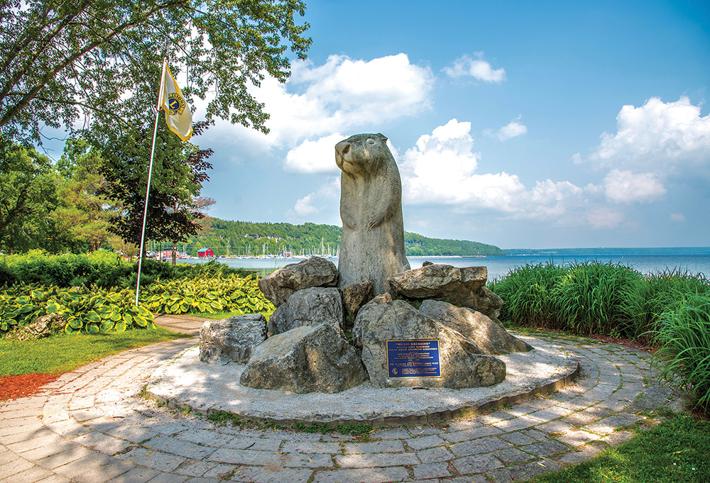
In the very centre of the waterfront park we find what we came for: a shrine with a very large Wiarton Willie carved out of stone. A plaque at the site pays tribute to the original Willie, who was found dead at the age of 22, just two days before Groundhog Day in 1999.
The statue is at least Maddie’s height and twice as big around. “That’s one big groundhog,” she says, and I have to agree. As we turn around to head back to where we are parked, we spot Dockside Willie’s Bar and Grill across the road. “That name could be taken a couple of ways,” Maddie says with a wry smile.
Back at the car, we program in our next destination in our maps: Lion’s Head Marina.
Lion’s Head Marina
We are now heading through North Bruce Peninsula country for the next 35 kilometres, and we’ve lost our rolling hills. We spot a few spinning windmills seemingly planted in flat farmers’ fields and lots of signs advertising the tourist attractions of Tobermory, just up the Peninsula.
By this point, I am feeling a little peckish, and I have to giggle at a billboard of a bear with the caption, “Losing weight? Fight Back. Visit the Sweet Shop.” Just one more reason to get to our end destination.
Turning off Highway 6, Maddie drives for a few minutes and then we are in Lion’s Head, a tourist destination known for its clean, shallow beaches, clear water, hiking trails, and a picturesque marina.
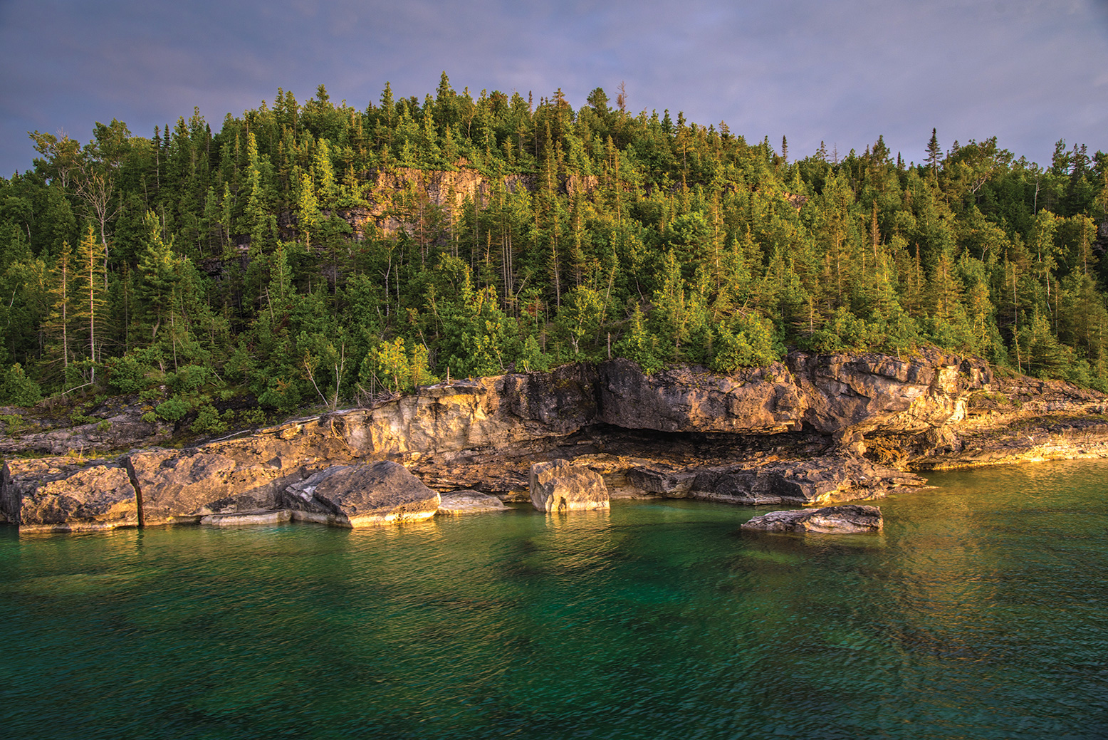
We park at the marina and walk to the edge of a stone beach, gazing out at the magnificent limestone cliffs that line the edges of Isthmus Bay and are part of the Niagara Escarpment. When I look closely, I can make out the rock formation that gave the town its name and I point it out to Maddie.
Lion’s Head Provincial Park is nearby, a nature reserve notable for its glacial potholes and hiking trails that form part of the historic Bruce Trail.
Again, the Georgian Bay water at the beach is so clean and clear, the waves lapping over the smooth stones that would be perfect for skipping across calmer water. The marina itself is jam-packed with boats moored to piers or heading out into the Bay.
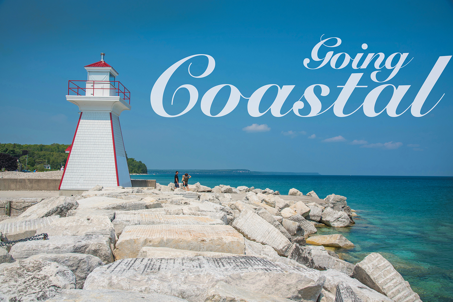
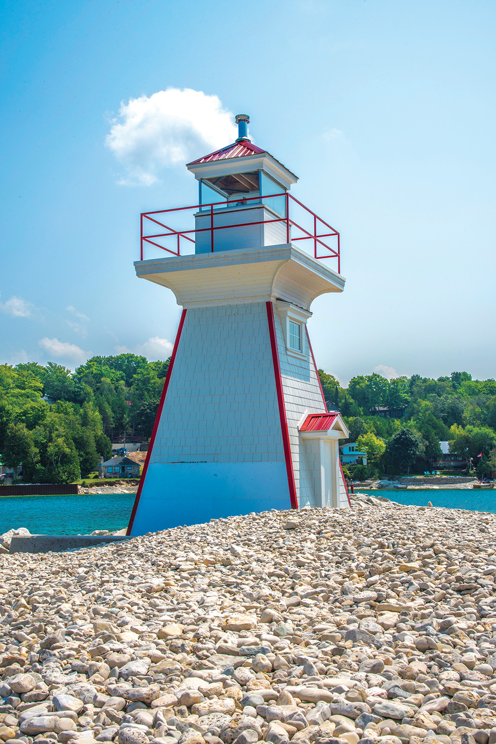
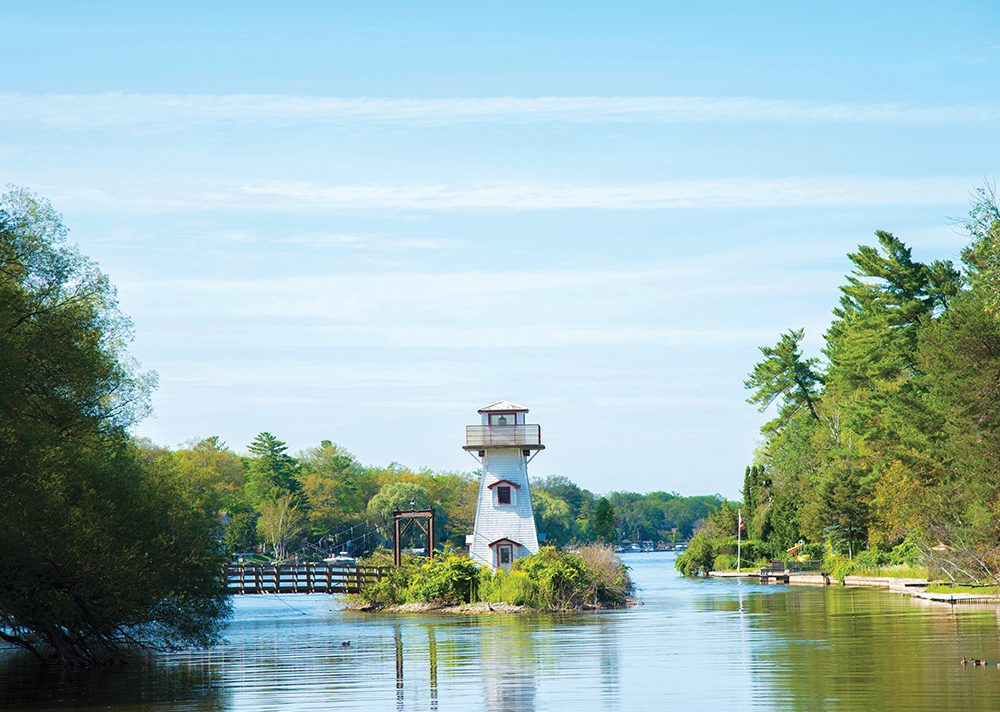
We also check out a tiny structure on the beach billed as “the little lighthouse that could.” The original lighthouse was torn down by the Coast Guard and its replacement was destroyed by a storm. The current lighthouse is a re-creation built by local high school students as a reminder of the site’s marine history.
As we make our way out of town, we stop at Cindy Lou’s for an ice cream cone: salty caramel for me, chocolate for Maddie. We gobble down our snack, and hunger at bay, we head to our next stop: Tobermory, home port of the Chi Cheemaun.
Tobermory
A flat, 49-kilometre drive through farmland, marshes and forests – a stand of maples is already at peak orange and red – finds us at the Lookout Tower at Bruce Peninsula National Park. However, it’s a busy day and there are no parking spots to be had. That’s a shame, because the viewing tower sits high above the trees, offering a spectacular panorama of the strait that joins Georgian Bay and Lake Huron.
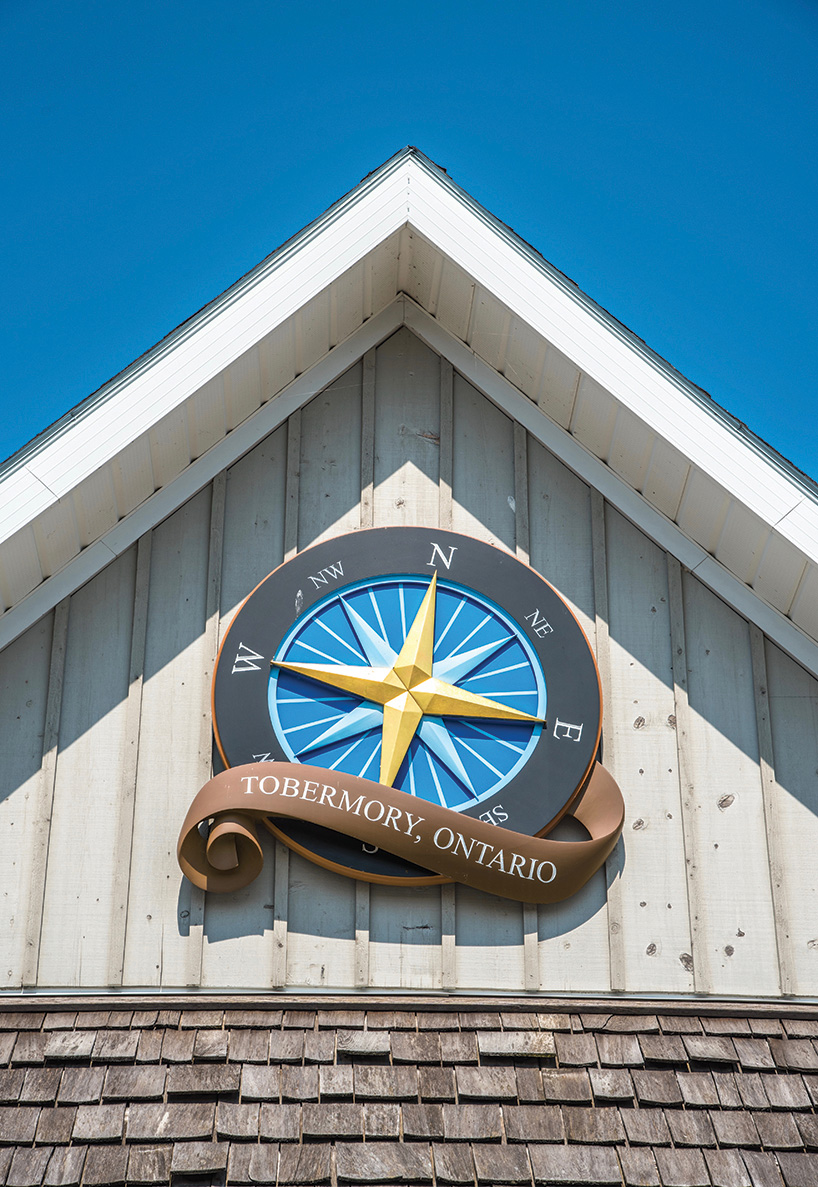
So, we head for downtown Tobermory instead, and it too is packed with tourists. There are oodles of things to do in and around Tobermory. In town, you can shop in one of the village’s many artisan shops, visit the Sweet Shop, sit down for a cold one at the Tobermory Brewing Company or take a cruise to Fathom Five National Marine Park, home to the iconic Flowerpot Island, 19th-century lighthouses and multiple shipwreck dive sites.
Drive a few kilometres and you can hike on the Bruce Trail or visit Cyprus Lake and the Grotto, a natural sea cave carved by Georgian Bay waves. The crystal-clear turquoise waters and spectacular cliffs make this a popular tourist destination.
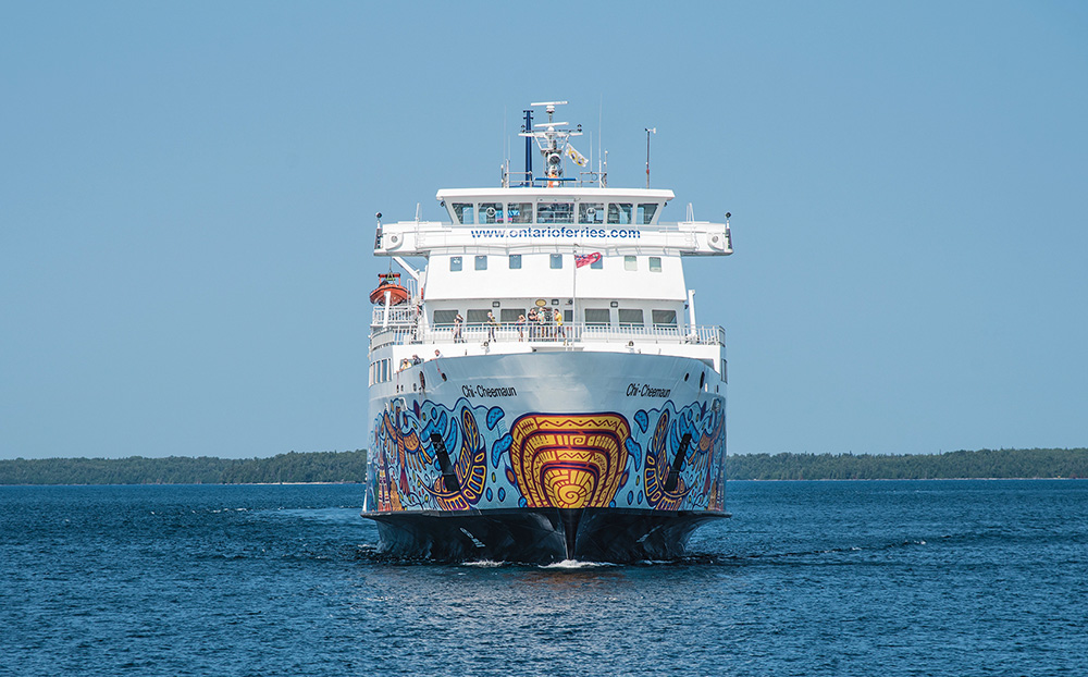
Of course, Tobermory is also home to the Chi Cheemaun ferry, which provides transportation to and from the next stop on the Georgian Bay Coastal Route tour, Manitoulin Island.
We decide to head to Little Cove Adventures, just south of the village, where we can try out a high ropes course. Owned and operated by Andrea and Zsolt Vincze, the popular attraction features a series of traverses across ropes, swinging planks, nets and tires, all 20 to 30 feet above the ground.
I had high hopes (no pun intended) of doing the course, but find I can’t even make it up to the start platform before my vertigo kicks in.
Maddie, meanwhile, channels her inner monkey. Safely helmeted and harnessed – and coached by Andrea – she successfully scrambles across increasingly difficult traverses while I can only watch in awe.
I can tell it’s an incredible workout for the core and upper body.
Once back on terra firma, she is pumped full of adrenaline from the exhilarating experience: “I discovered that the trick is to not look down. You just have to concentrate on your next step.”
Maddie was a great student, says Andrea.
“She was open to try different challenges, and completed some difficult obstacles. I was very proud of her when she crossed the ‘Hourglass’ on the top level. I saw that it gave her some fear, but she never gave up.”
The experience is a fitting end to what’s been an eventful day. With a long drive home, I take over the wheel to give Maddie’s tired arms a break. Seven-plus hours and 312 kilometres later, Day Trip Number One is in the books.
Wasaga Beach Provincial Park & Nancy Island Historic Site
As we head eastward along the shoreline, we reminisce about the many car trips and vacations with our parents when we were young.
I love driving through Wasaga because it reminds of me of the summers my parents rented a cottage in the resort town. A long-distance runner in high school, I would run a good length and back along the world’s longest freshwater beach – in total, 14 kilometres long – in my bare feet at the water’s edge.when I became a reporter, Jane and I staged races on the cottage floor with fresh lobsters I brought back from an assignment on the East Coast.
All of these great memories come to the fore as we drive along Mosley Street, a route that hugs the water and all of the eight beaches that make up the park. We pass a hodgepodge of rustic cottages, cabins for rent, small hotels and, in some areas, opulent homes that have been built in more recent years.
When we can peek between structures, we see lots of activity on the water – swimmers, paddle boarders, sailboats and people on jet skis.
As a provincial park, Wasaga Beach is also a nature preserve that protects wildlife habitat and shorebirds, including the endangered Piping Plover. Besides the long stretch of beach, it contains wetlands, floodplains and a unique geological formation: 40-metre-high parabolic sand dunes.
At the eastern end of the park, we reach the Welcome Centre, and it’s exactly that. Friendly park rangers greet visitors as they enter to pay for parking permits for day camping, shop at the Treasure Chest gift store, or look at a few exhibits of the area’s history and ecological features.
The Centre is also the access point for the popular Nancy Island Historic Site, featuring a museum and theatre that tell the story of the Nancy, a two-masted cargo schooner that was used by the British Navy as a supply ship during the War of 1812. The Nancy was destroyed by three American war ships in 1814 and sunk in the Nottawasaga River. Eventually the wreck became the site of the island as silt deposits collected over the remains of the ship. The burned hull was recovered in 1927 and is now on display in the museum.
Unfortunately for us on this day, the historic site is temporarily closed for some renovations, so we head to our next stop: Wye Marsh Wildlife Centre in Midland.
Wye Marsh Wildlife Centre
We take the roads less travelled to Midland, going past cornfield after cornfield on narrow country roads, encountering the occasional group of cyclists.
Jane and I recall how we loved to take our mother for drives while she was battling late-stage dementia, and she would marvel at a vast expanse of corn, repeating the same words every two minutes: “There’s acres and acres of it! They must sell some of it.”
Soon, we hit rolling hills that usher us into our destination on the outskirts of Midland. Turning off Highway 12 East, we see that we have two options: to the right we can go into the famous Sainte Marie Among the Hurons Museum; to the left, into Wye Marsh Wildlife Centre.
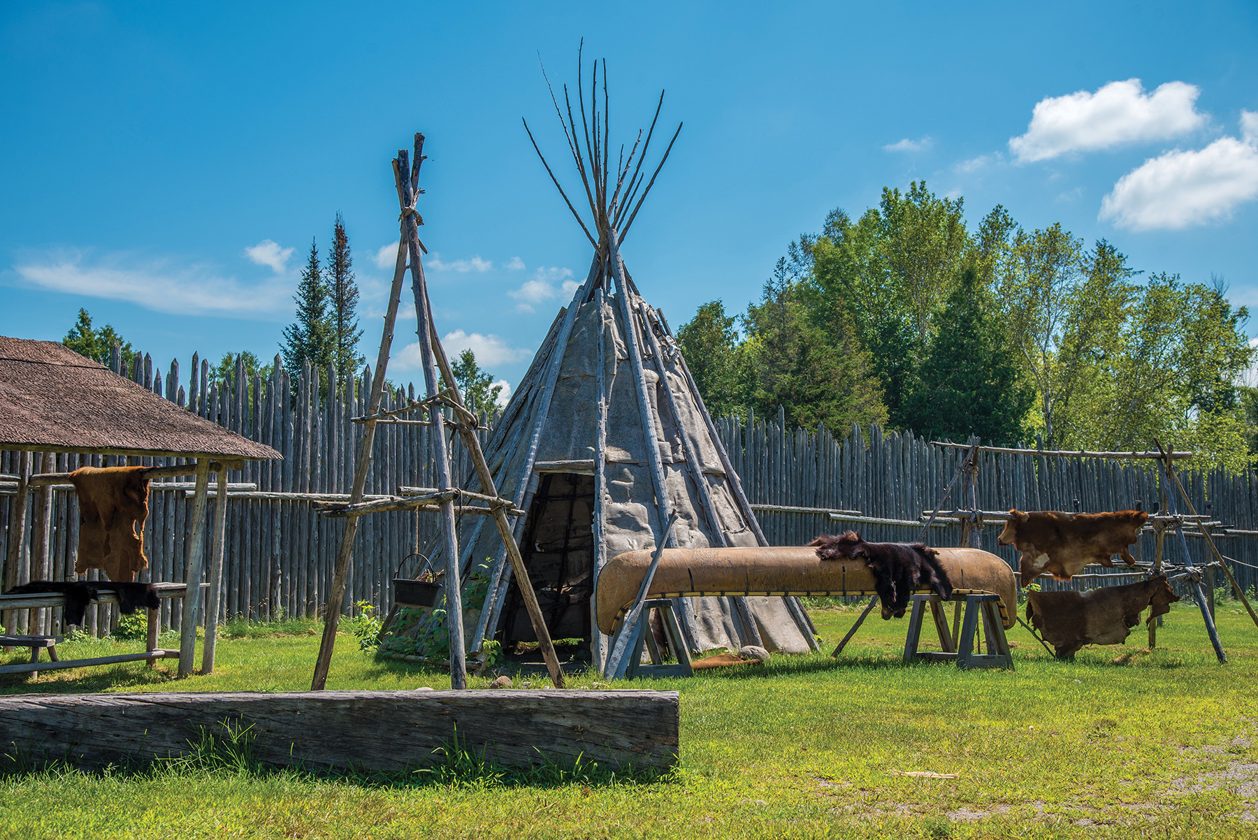
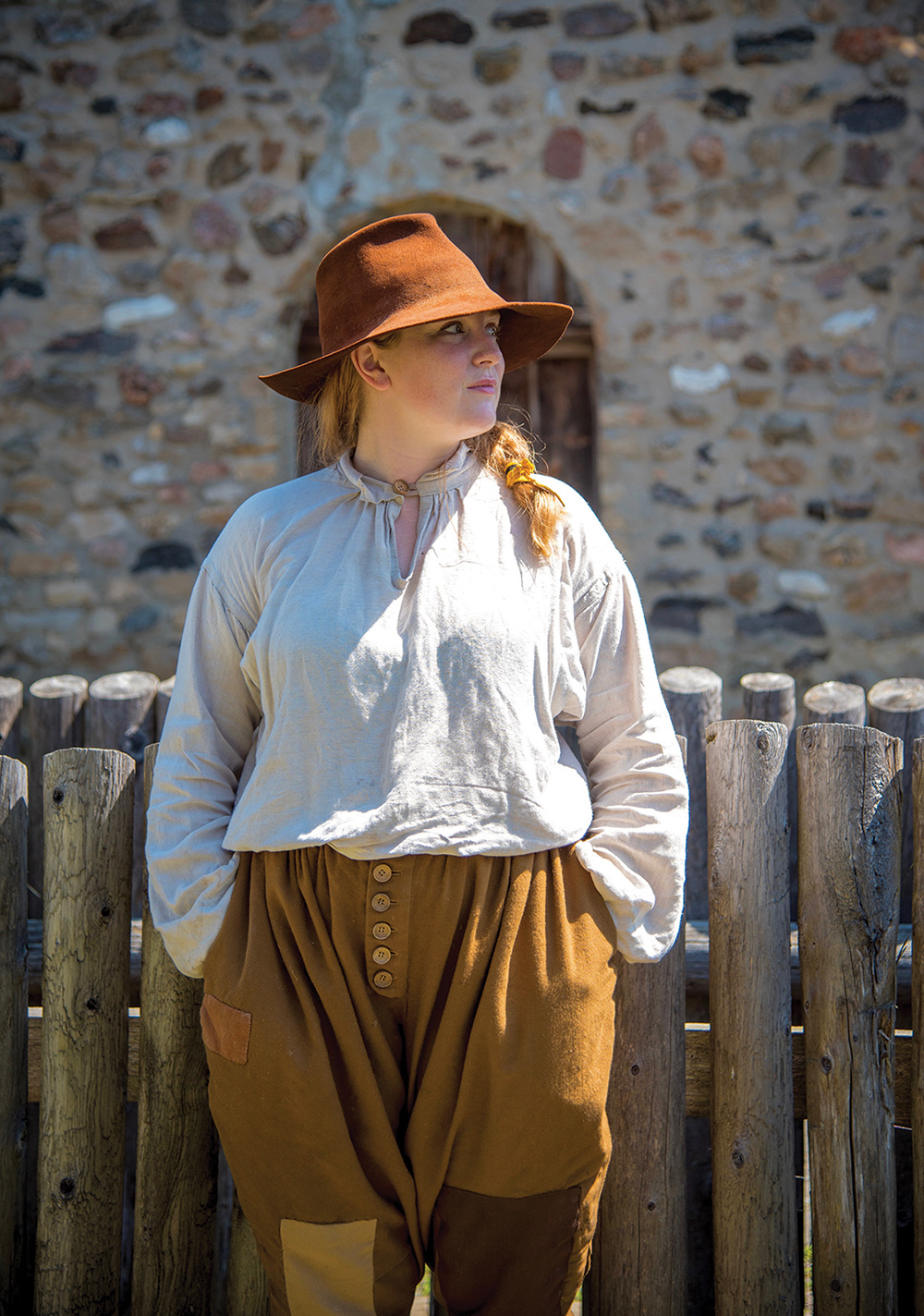
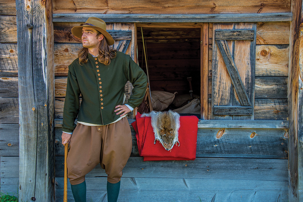
Sainte Marie Among the Hurons Museum is a historically accurate recreation of Ontario’s first European community, the French Jesuit Mission to the Huron Wendat people. In the early 1600s, the Jesuits constructed a fenced-in community that included a church, residences, workshops, and a sheltered area for Indigenous visitors. Ten years later, the mission was forced to abandon and burn its home.
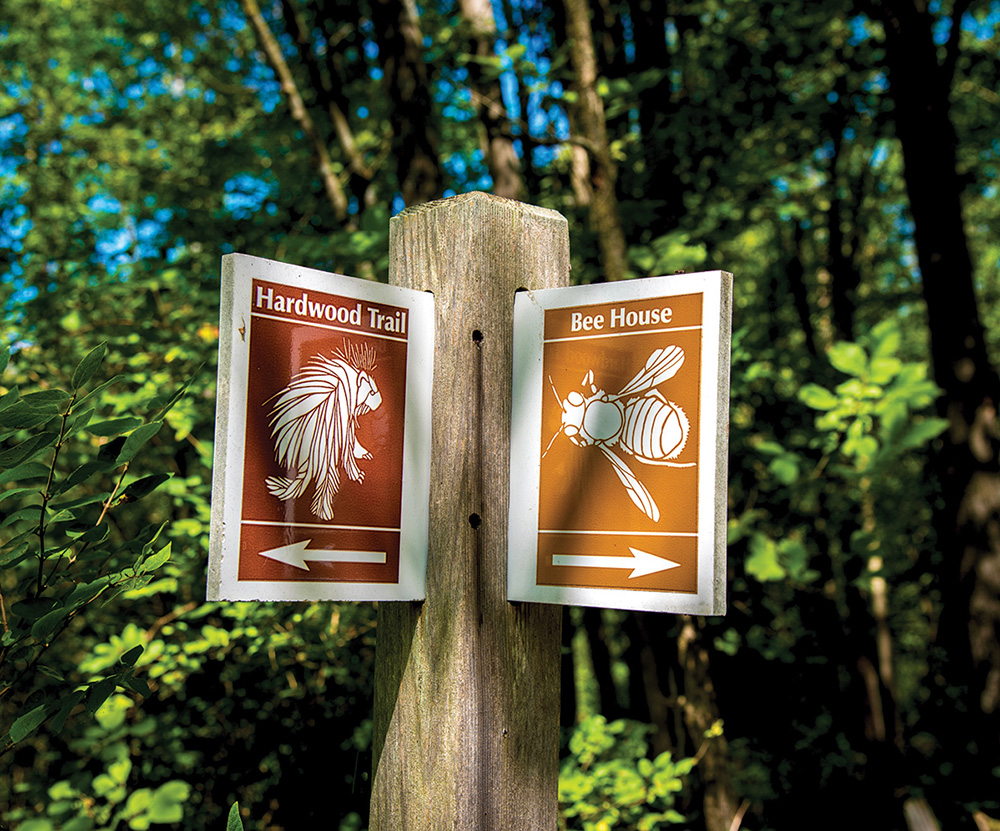
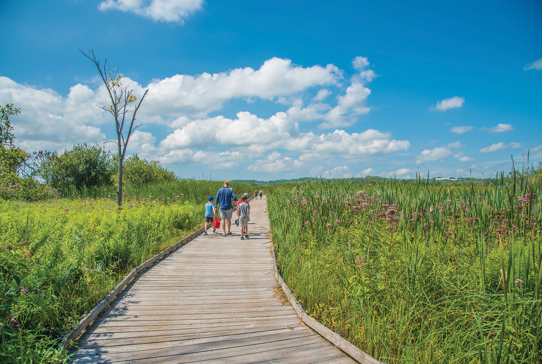
We leave this attraction for another day and go left into Wye Marsh, a wetland area on the south shores of Georgian Bay that has been designated a provincially significant wetland by the province. The long driveway is dotted with signs alerting drivers to turtle, deer and porcupine crossings.
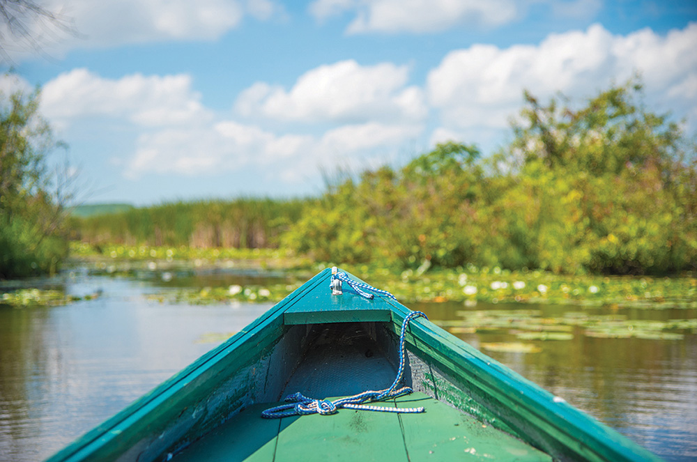
We pay a modest $9 fee at the indoor visitor centre before venturing back outside into hot moist air, lush vegetation, and surprisingly few mosquitoes. Jane and I walk along a well-worn path to the Waterfowl Monitoring Station, a wooden structure that overlooks part of the marsh that is teaming with life.
A red-winged blackbird flies by while frogs of all species and sizes sit atop huge lily pads that practically cover the entire surface of the water. Between the lily pads, minnows flit here and there and dozens of tadpoles – some of them huge – dart to the top of the water to snack on an insect.
As we watch, we are joined by five youngsters from the Wye Marsh Day Camp who are enthralled by the sheer number of frogs and tadpoles. “There must be one hundred,” a five-year-old solemnly states, leaving no room for debate.
Their 21-year-old counsellor, Jessica, is happy to be back at the camp for the summer after a two-year absence: “I love working with kids and being outside all day is awesome.”
The mosquitoes seem to have found us, so we tramp back along the half-kilometre trail to our car. Next stop: lunch at Mom’s Restaurant.
Mom’s Restaurant
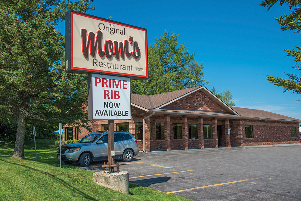
Mom’s Restaurant is an institution in Midland, an old-fashioned homestyle diner that prides itself on serving good food in generous portions. We arrive a little before noon before the lunch crowd arrives and enter into a spacious and pleasant restaurant that has taken care to respect social distancing. We are shown to our table by friendly staff and we peruse the menu, thinking we will treat ourselves to back bacon sandwiches.
Then our waitress arrives to tell us that the daily special is chicken souvlaki with a Greek salad. Immediately we both order it and have no regrets – the chicken’s marinade is marvellous and we eat every morsel on our plates while watching more patrons arrive.
The restaurant’s reputation is clearly well-deserved, and, fuelled up, we head to our final destination of the day, Waubaushene Beach.
Waubaushene Beach
It’s a short drive to Waubaushene, a quaint well-kept community of fewer than 1,000 full-time residents and part-time cottagers. Located in Tay Township, Waubaushene is named from a First Nations word, possibly meaning “land of the rocky marsh.”
The town’s history of exploration and trade was shaped by its location at the outlets of the Severn River and Matchedash Bay, two major water routes that connect Lake Ontario to Georgian Bay. Later, it was a significant port for lumber shipments to southern and overseas markets.
We easily find the beach and it’s a bit of a disappointment compared to some we have seen– it’s tiny. But it feeds into a paved trail system, and we see some cyclists congregating at the beach about to head off on a trek.
Still, the town is charming, and as we drive to the highway, Jane and I talk about how it would appeal to those looking for a quiet cottage experience.
About an hour later, I am home from Day Trip Number Two, a six-hour, 245-kilometre round trip that explored another part of Ontario that is rich in history and geological/ecological diversity.
Both trips have hammered home a truth: that Ontario and Georgian Bay are vast treasures that promise a variety of wilderness and urban destinations that would take years to fully discover. And, yes, I am left with a yearning to discover more. ❧
About The Route
The Georgian Bay Coastal Route (GBCR) was launched in 2008 to promote tourist destinations in six regions around the entire shoreline of the Bay: the Bruce Peninsula; Blue Mountains & South Georgian Bay; North Simcoe; 30,000 Islands; Killarney & Sudbury; and Manitoulin-North Channel.
Covering more than 2,000 kilometres, the route travels through diverse geological formations and two UNESCO World Biosphere Reserves – the 725-kilometre-long Niagara Escarpment and the 30,000 Islands of Georgian Bay, the largest concentration of freshwater islands in the world.
Kathryn Stephenson is manager of tourism for Simcoe County and chair of the Georgian Bay Destination Development Partnership/The Georgian Bay Coastal Route. She calls the route “awe-inspiring.” “I think it really captures the Ontario experience and showcases all that Ontario has to offer. It should be the Cabot Trail of Ontario. It’s an iconic destination unlike any other.”
Multiple partners are involved in the promotion of the route, including the federal and provincial governments, regional and local tourism organizations, municipalities, and public and private operators around the Bay.
The GBCR website is a useful resource, providing 11 experiential routes for a variety of tours, whether travelling by motorcycle, car, RV or boat. It also has tour routes that focus on a single type of destination, like golf courses, beaches, lighthouses, outdoor adventures, scenic vistas or experiences in nature, like canoeing or hiking.
The site provides sample itineraries and an interactive map for each tour, along with recommended dining stops or places to stay.
To be featured on the website, operators must meet certain criteria. For example, the GBCR Motorcycle Tour is designed to be motorcycle-friendly, so the route should be paved and the attractions, accommodations and dining destinations should be owned or operated by a motorcycle enthusiast or known to host motorcycle events during the year.
You can find more information about the Georgian Bay Coastal Route at visitgeorgianbay.com


