


The meaning behind the madness of our highways and byways.
by Dan Needles // illustration By Justin Broadbent // photography By MIA Klein

If you are looking for a pattern to the road system of Grey and Simcoe Counties, don’t be surprised if you stumble across the meaning of life in the middle of your search.
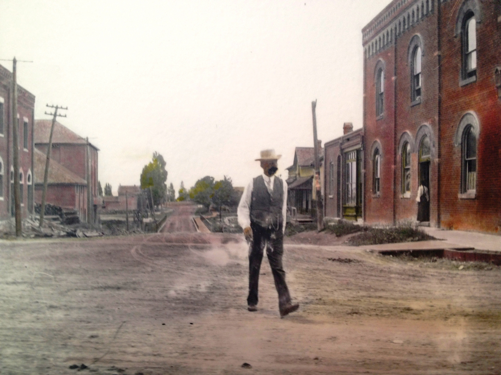
I’ve been driving up over the Escarpment on Highway 26 and Highway 4 since Richard Nixon was a popular president, and I know all the townships by their maiden names and nicknames: Amnesia, Euthanasia, Floatin’ Proton, Flyspray. The roads used to go by names, too, rather than numbers. There was a Hogback, an Old Mail Road, a Magnetic Hill, Back Lines, Blind Lines, Old Settlements, and a whole bunch of Deviation Roads which for a long time I assumed was a Bob Dylan song or else a cautionary sign, such as Beware Falling Rock. I have lived long enough to see amalgamations and restructuring give these little roads new designations that look more like a postal code than a road sign. The result is general confusion for anyone straying off the provincial highways into the gorse bush of the township network.

It seems every road now has three different names: there’s the old name the neighbours have for it; there’s another given by county and provincial engineers in the 1970s; and then a third name or number assigned when premier Mike Harris introduced the concept of “off-loading” roads to lower-tier governments. I grew up within eyesight of the 6th Line of Mono Township which got promoted to the Airport Road in 1968 and then County Road 18 somewhere in the 1990s.
There is a pattern to all of this, but it’s a bit like Cronshaw’s intricately woven Persian rug in the Somerset Maugham novel Of Human Bondage. The pattern is far too complex to be understood by mere mortals.
The problem goes all the way back to first settlement when Lieutenant Governor John Colborne in 1830 drew a sieve through the taverns of Yonge Street to staff survey crews that would mark out the Queen’s Bush, the name given to the vast swath of forested Crown land stretching from Shelburne to Owen Sound. The crews used a variety of survey systems and did not visit with each other or share ideas. There are all sorts of theories why the crew that left Hall’s Tavern at Wrigglesworth Corners in Shelburne in 1830 set off at a 30 degree angle from the other guys doing Simcoe County. But that’s where the Toronto-Sydenham Road (Highway 10) came from and it explains why the old townships in Dufferin and Grey appear to be cut on the bias. Melancthon was the only township in Upper Canada whose interior lot lines did not run parallel to the township boundaries. The story I like best says the crew was following a treasure map leading to a silver deposit near Flesherton.


When the Toronto-Sydenham road to Owen Sound was finally completed, 39 taverns sprang up over a distance of 38 miles, making the trip more arduous than ever. Some people with the best of intentions never made it to Owen Sound at all.


Highway 10 was originally called Hurontario Street, so named because in 1818 a perfectly sober Sir Peregrine Maitland drew a straight line on the map to connect Lake Ontario to Lake Huron. Maitland also gave names to many of the townships, on a whim naming Tiny, Tay and Flos townships after his wife’s dogs. (He might just as easily have named them after his own dogs, Spike, Luke and Big Red.) But the crews who tried to follow Sir Peregrine’s imaginary line found themselves struggling through the thick forests, limestone cliffs, and bug-infested swamps of the Niagara Escarpment. Eventually roads were built on most of the Hurontario line from Port Credit to Collingwood. It remains the name of the main street of both towns. But the road disappears in many places in between and becomes Centre Road in Dufferin County, and Lavender Hill Road, 8th Line, and Highway 124 in Simcoe County. When the Toronto-Sydenham road to Owen Sound was finally completed, 39 taverns sprang up over a distance of 38 miles, making the trip more arduous than ever. Some people with the best of intentions never made it to Owen Sound at all.
Maitland also gave names to many of the townships, on a whim naming Tiny, Tay and Flos townships after his wife’s dogs.


There were five major survey systems used in mapping out Ontario with something like 166 variations, resulting in the crazy quilt we have today. Farm lots were measured out in long narrow strips called “string hundreds” in North Simcoe. In some townships, concession roads ran north-south and were numbered sequentially. Elsewhere, like Dufferin County, the farm lots were square and the numbers started in the middle at a Centre Road or Baseline and went out both ways with an East or West tacked-on to the number. Sideroads connect the concession roads east to west and go up by multiples of five in Dufferin County but have no pattern at all in parts of Simcoe and Grey. I have lived on Sideroad 30-31 for 44 years, and if I were tied up and tortured with a hot poker I couldn’t tell you what the numbers are for the roads north and south of me. They will always be the West Church and the Min Baker to me.
Google Maps is no help on any of this. It might help you get across the township to find another main provincial highway and get away, but it’s hopeless at finding the people you are supposed to be having dinner with. How is it I share the same fire-code number with someone nine miles south on the same road in the same township? (They turn out to be nice people and we exchange mail regularly.)
When I had a fall in the barn a few years ago and broke my hip, my wife had to talk the ambulance driver in by phone. Every time a new driver with Purolator brings a parcel to the house he has to call for directions. That’s because I have three addresses. There’s the one for Canada Post that will get my mail to Louise, the postmistress at the village store, who hands it on to Rob the mailman, who often brings it right to the farm so he can visit with my big dog. But if you type that same address into Google Maps it puts me 15 miles west in Thornbury or 11 miles south in Creemore. Then there’s the township address which requires you to use the township name, not the village, and add the word “North” to my road. The garbage truck is supposed to use that address but they often get lost and skip us altogether.
Given names on signs will eventually vanish from the road system entirely, just as they are being peeled off schools and statues are toppled. All human beings eventually irritate and offend someone, and it costs a lot to have the signs removed and replaced when they fall out of favour. Numbers and letters will prove to be much safer choices in the long run. In very old societies, like rural England, or the island of Barbados, there are no road numbers or signs at all. People give directions according to landmarks.
In the meantime, if you want to know how to get here from there, the rule is the same as it always was. Ask the old guy at his mailbox. He’ll tell you to keep going down the Blind Lines until you see the flock of sheep on the road. That’s our place.